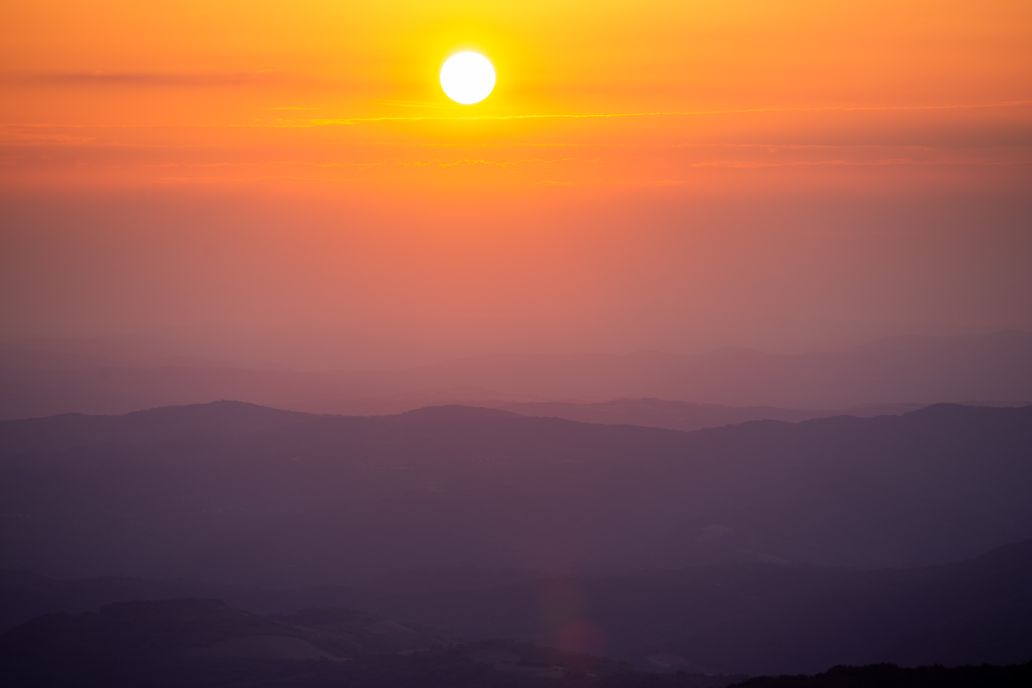
Kom-Emine is the longest hiking trail in Bulgaria, taking you across the country via the Balkan range (Stara Planina, ie Old Mountain) from west to east. You start at Kom Peak and end at Cape Emine at the Black Sea Coast, allowing you to see a big chunk of the place. Traditionally it takes around 21 days to walk the 600+ km, though many organized groups nowadays do it in 16-18 days, depending on the their fitness and willingness to endure the longer daily mileage. The elements also play a big role — the Balkan Mountains are known for the rapid changes of weather conditions and unrelenting summer storms that could make it impossible to move forward.
You can sleep at mountain huts (or chalets, though most are not fancy enough to be called that in my mind 😀 ) or you can carry a tent, which gives you more flexibility, but it’s also heavier and tougher. A lot of people opt to have support teams (in many cases probably buddies they’ve extorted / bribed) bring them supplies / clothing at certain points which does help reduce the load.
The challenge has actually been on my mind for a while. My dad did it back in the late 70s / early 80s so I’ve thought about it many times, but never seemed to find the time. I finally got around to it a few weeks back, in August. Not being able to travel abroad moved it higher on my priority list, I suppose. That and stumbling upon on a couple of friends by accident (was it?) a few weeks before the trip helped — they had put the itinerary together and invited me to join. It was the lay up I had been waiting for.
(Sidenote, I certainly seem to be following in my dad’s footsteps, though sometimes without realizing it.)
So how was it? Well, challenging 😉 Certainly not the toughest (that badge of honor still goes to Denali), nor the longest in terms of kilometers per day (at the Welsh 3000s we hit 60km and elevation gain of around 4,000m), but the sheer duration means you have to be in semi-decent shape to tackle it. I didn’t do anything special as I try to keep a good fitness level throughout the year, just in case an opportunity like that pops out of nowhere 🙂
There are mornings when you look out into the distance and think “We can’t possibly be going there today, can we?” And then at lunchtime you realize you’ve hit that mark, but you’re still only halfway through the trek. Beyond anything else, it’s a mind game where you have to just put one foot in front of the next and not dwell on minor things like being sweaty / dehydrated from the scorching sun, the discomforts of having blisters upon blisters on your feet or the pain in your joints from walking up and down 30-40km daily with a backpack… it’s definitely not for everyone 🙂
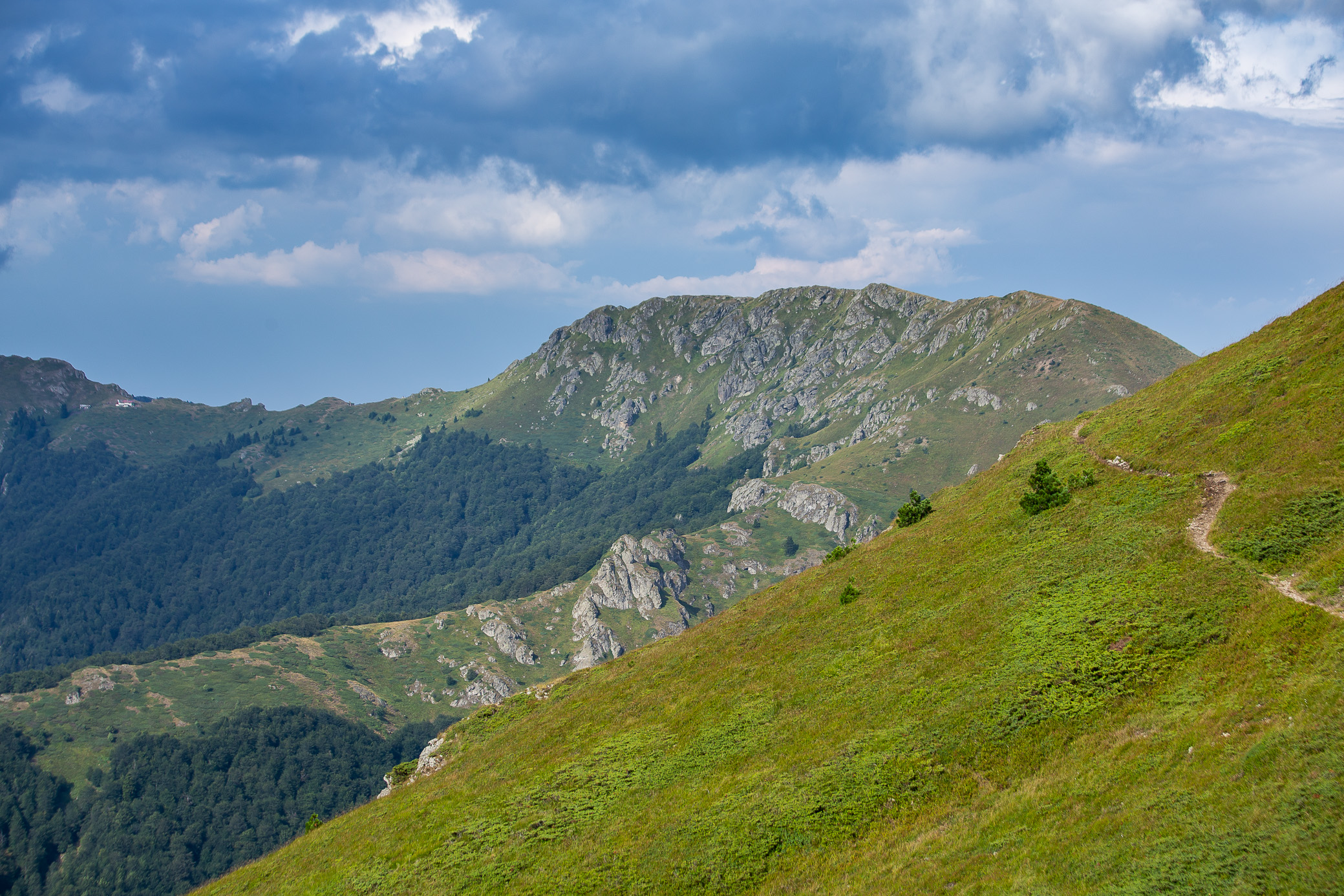
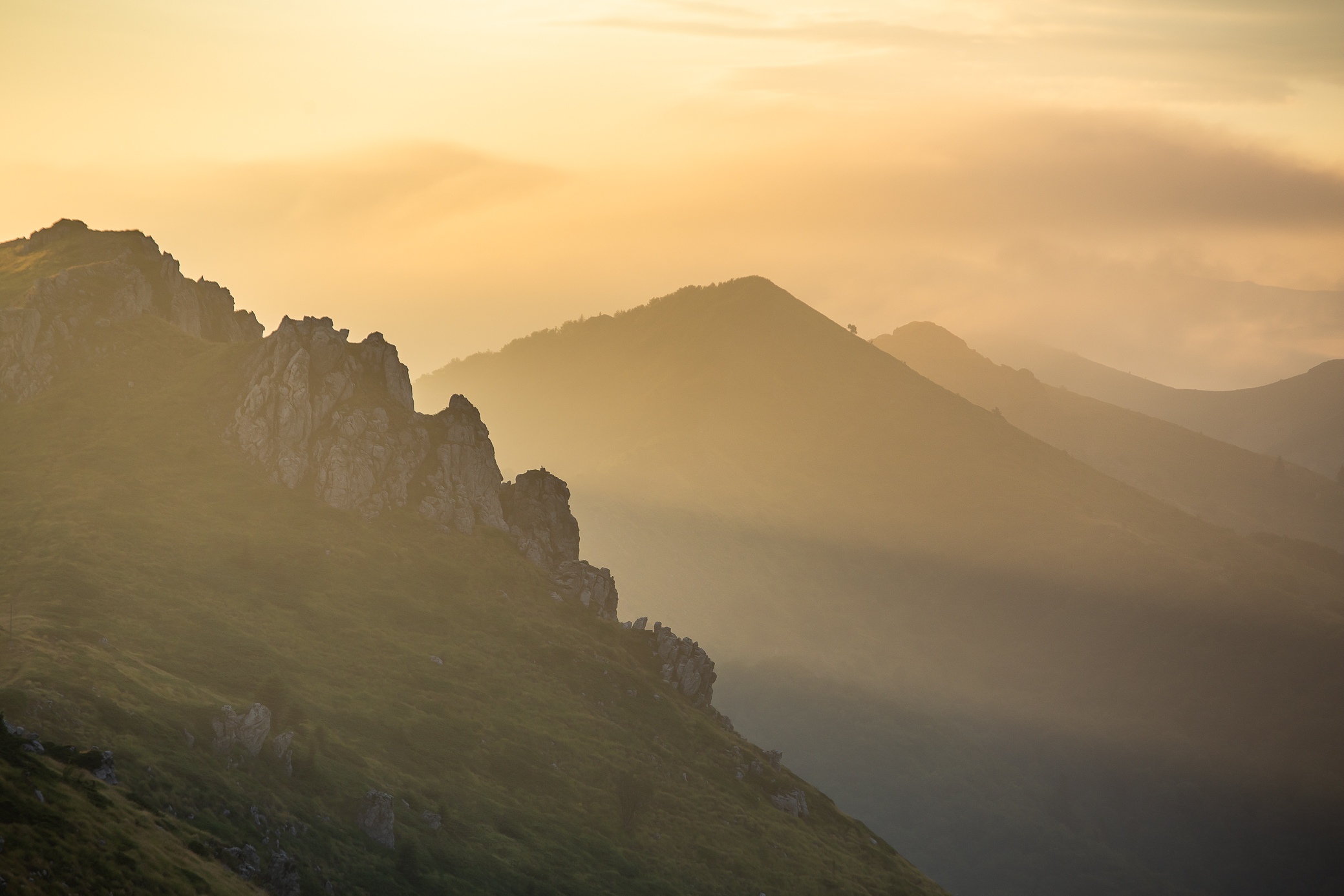
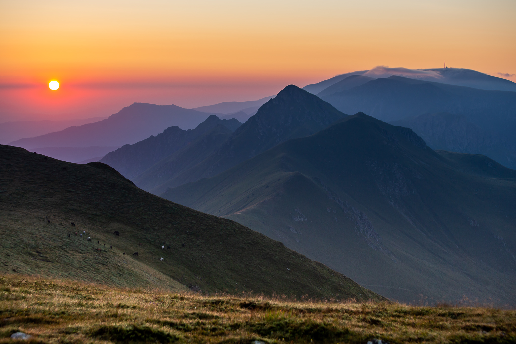
At the same time, it’s breathtakingly beautiful. I can only hope the images below do it justice. You get to learn a lot about yourself and push your limits; strengthen friendships with your travel buddies and make some new ones along the way; enjoy the hospitality of wonderful hosts in the huts (and a couple not so great ones); watch some amazing sunrises and sunsets; come across wild animals (only the footprint of a bear this time, luckily); eat a ton of berries and fruits. But most of all, you get the sense of accomplishment of completing a mighty challenge. If you’ve ever considered doing this, I cannot recommend it highly enough!
Route
Here’s a map of the route that could help you put things into perspective. The midway point is right around the city called Казанлък.

Timeline
Below is the breakdown of our days. The first was more of a half-day as it included traveling from Sofia to the starting point. Do note the distances might not be entirely accurate, Garmin does have occasional GPS tracking issues.
| Day | Section | Distance | Elev gain | ELEV loss | Time | GPS track |
|---|---|---|---|---|---|---|
| 1 | Kom – Petrohan | 15.93 km | 686 m | 808 m | 4hrs 8min | link |
| 2 | Petrohan – Trastenaya | 39.81 km | 1,273 m | 1,538 m | 11hrs 2min | link |
| 3 | Trastenaya – Leskova | 23.33 km | 717 m | 569 m | 6hrs 23min | link |
| 4 | Leskova – Vitinya | 36.80 km | 1,105 m | 1,426 m | 10hrs 31min | link |
| 5 | Vitinya – Kashana | 33.43 km | 1,223 m | 851 m | 9hrs 34min | link |
| 6 | Kashana – Eho | 42.17 km | 2,332 m | 2,036 m | 12hrs 4 min | link |
| 7 | Eho – Dobrila | 33.57 km | 1,195 m | 1,076 m | 8hrs 30min | link |
| 8 | Dobrila – Mazalat | 42.19 km | 2,342 m | 2,601 m | 12hrs 50min | link |
| 9 | Mazalat – Buzludzha | 37.16 km | 1,221 m | 1,315 m | 9 hrs 1min | link |
| Totals | 304.39 km | 12,094 m | 12,220 m |
We weren’t aiming for any records either so I’d say the times you see are about average. Realistically you can complete the first half in 6-8 days, which I reckon I can do without the excess weight and with some actual physical prep beforehand. With this pace, it would have taken 15 days to finish the whole Kom-Emine and I think I can take it down to 12-13 days.
As a bit of fun trivia, the record on the ENTIRE route is 4 days 8 hours 27 min, which is simply mind boggling. It was set in 2018 by the ultramarathon runner Bozhidar Antonov and you can see a video of his feat here (in Bulgarian).
Gear
And this is what I took. It could have certainly been lighter, but I didn’t want to buy anything new just for this, including a smaller backpack. My stuff is generally geared towards harsher environments 😅 Then there’s the ever-present debate of do I bring my big camera (single heaviest item) or not — I always tell myself I won’t do it next time and then I inevitably do take it with me…
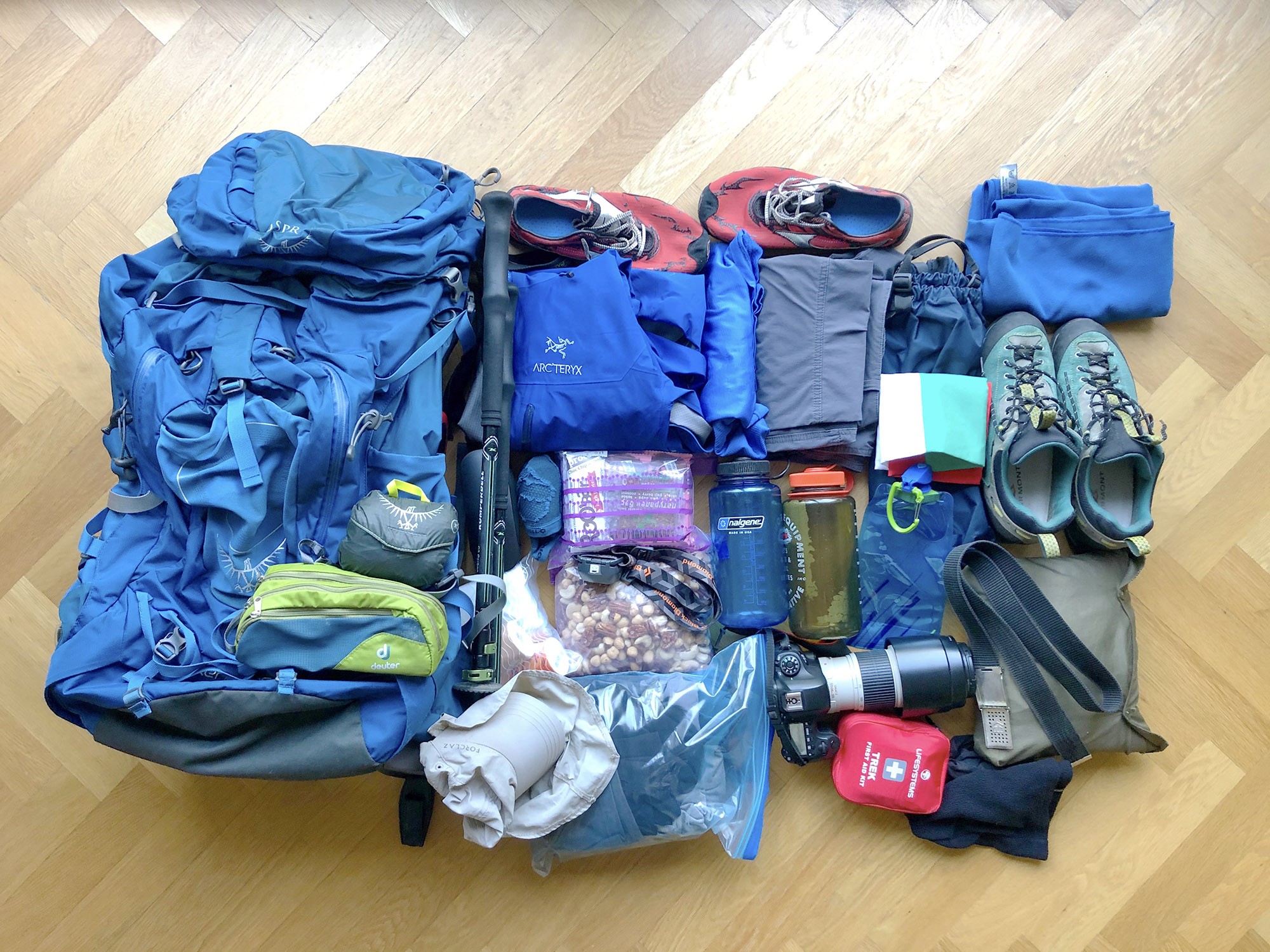
I should be upfront that there won’t be a part 2 of this post, not for a while at least. I could only spare a week off this year, so by design I wanted to reach the halfway point. I do hope to finish it eventually, but we’ll see when that is. To be honest, the eastern half is not as alluring to me — lower altitude, fewer vistas, even hotter and full of all sorts of insects that get in your face all the time… I’ll do it, but I won’t enjoy it as much as the west 😉 And I certainly plan on not taking the big camera and reducing the extra weight quite a bit.
With that, finally you get to the good stuff — the photos!
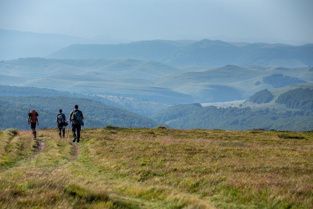
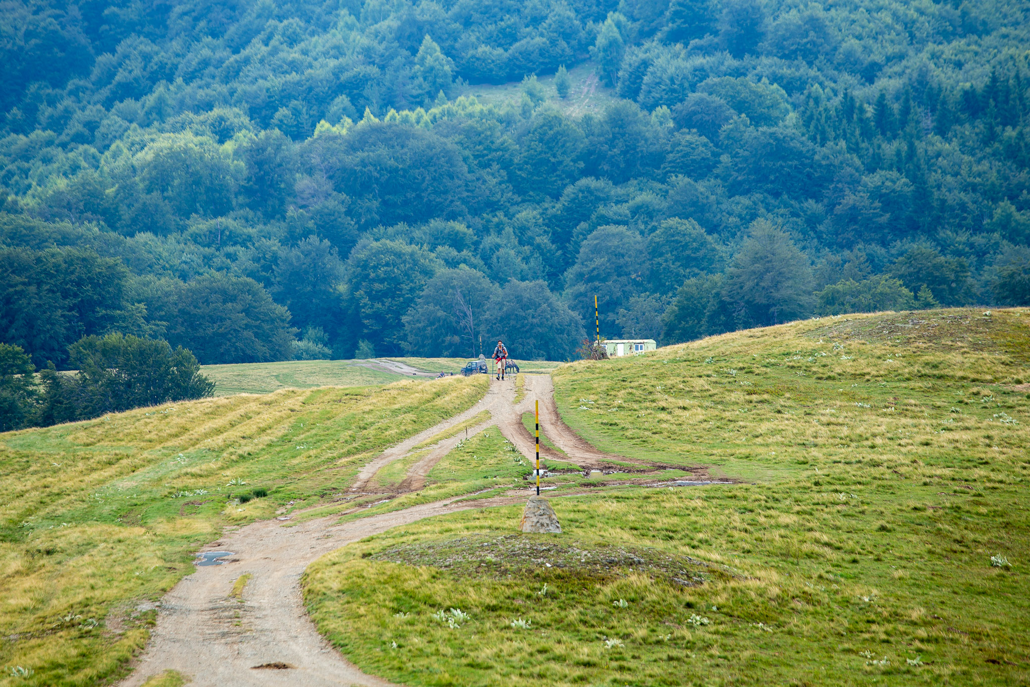
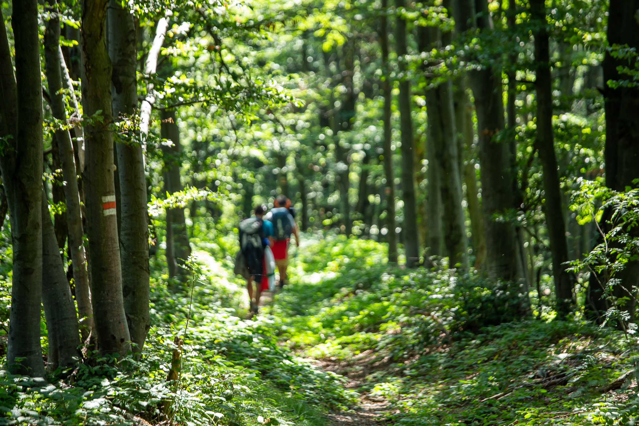
Day 1: Kom – Petrohan
15.93km | 686m up | 808m down | 4hrs 8min
We left Sofia rather late, at lunchtime, so we didn’t start the trek until around 3pm. We’re at the new Kom hut and the signs below point us to Kom peak and a few other things in the area.

I was here not 8 months prior and the scenery was quite different — illegal (or rather made-to-look-legal) logging practices have taken down trees that were standing tall and green. It’s quite a sad sight and, unfortunately, we kept seeing the same thing daily ![]()

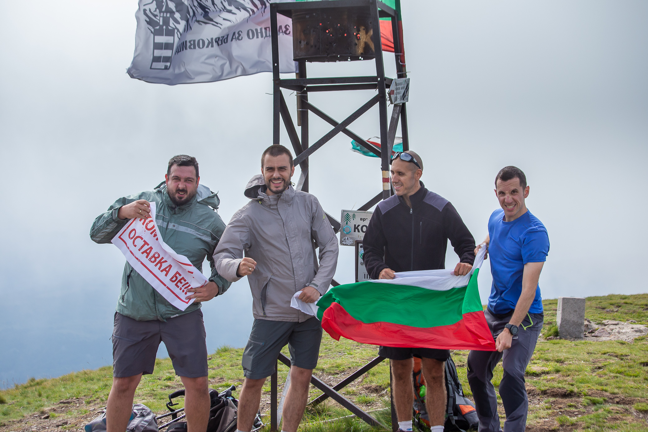
Kom peak, sitting at 2,016m / 6,614ft, was quite windy. If you’re wondering what that sign is that Denis is holding — there’s a whole subplot to this trek that involves the four of us doing the challenge in demand for the resignation of the current Bulgarian government whose corrupt practices reach far and wide to all facets of our society and life, including nature (as seen above). But I decided to leave this aspect out of the story as it doesn’t quite fit with the post’s intended goal and would have made it even longer.
The lonely ranger.
Not long after the above photo, the weather turned and I kept the camera neatly tucked in. It started raining heavily and we could see a lightning storm approach us from the east. As we were getting close Petrohan, a lightning struck super super close to us (as in the entire sky / surrounding area lit up and we heard the thunder almost immediately after) so we almost ran for the remainder of the distance. It sure helps your motivation! The smiles you see below are for us reaching the hut safely 🙂

Day 2: Petrohan – Trastenaya
39.81km | 1,273m up | 1,538m down | 11hrs 2min
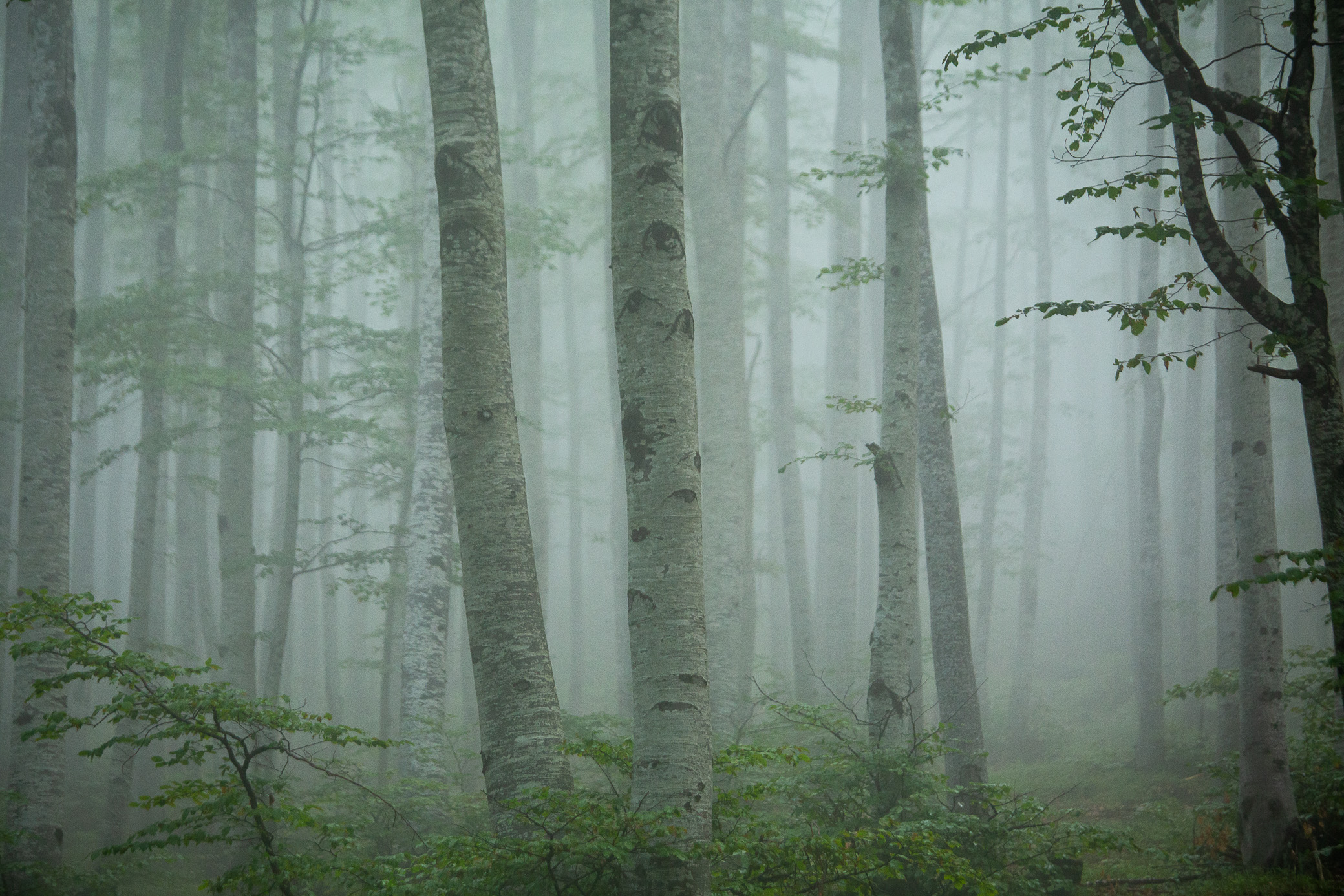
This was going to be our first big day. We got up relatively early, ate a hearty breakfast and left. We were rewarded with the misty morning forest views.

Love that shot. The sun was about to find its way through the mist.

Looking back, that peak in the distance is Kom. I remember thinking we’d walked quite a bit up to that point — boy did I not fully comprehend what was in store for us 😉

I don’t know if you’re beginning to spot the trend here — the photographer is always last 😀 That’s part of the deal, I get it, but it does break your rhythm quite a bit.
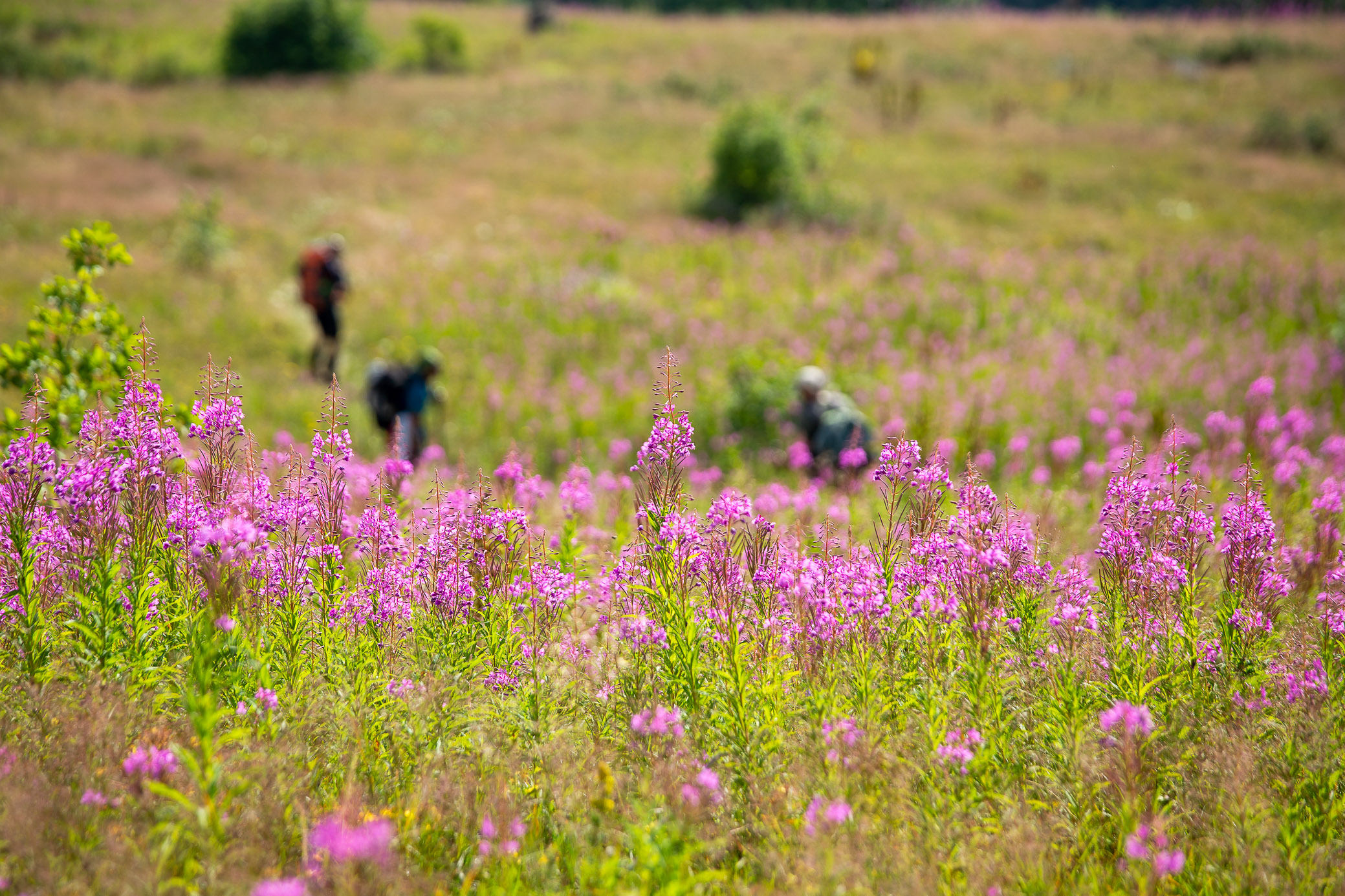
Starting our descent to Proboinitza hut and then Lakatnik (lowest point in the whole first half of Kom-Emine), we came across this flowery field.
The next few hours I didn’t really take a lot of photos. It was quite a sunny day so dropping our altitude to just over 400m (~1,350ft) at Lakatnik meant that the nice breeze at the plateau (at close to 2,000m or 6,500ft) was replaced by the sun beating down at us around noon. Not fun. This is a phone capture of the Iskar river crossing at Lakatnik.

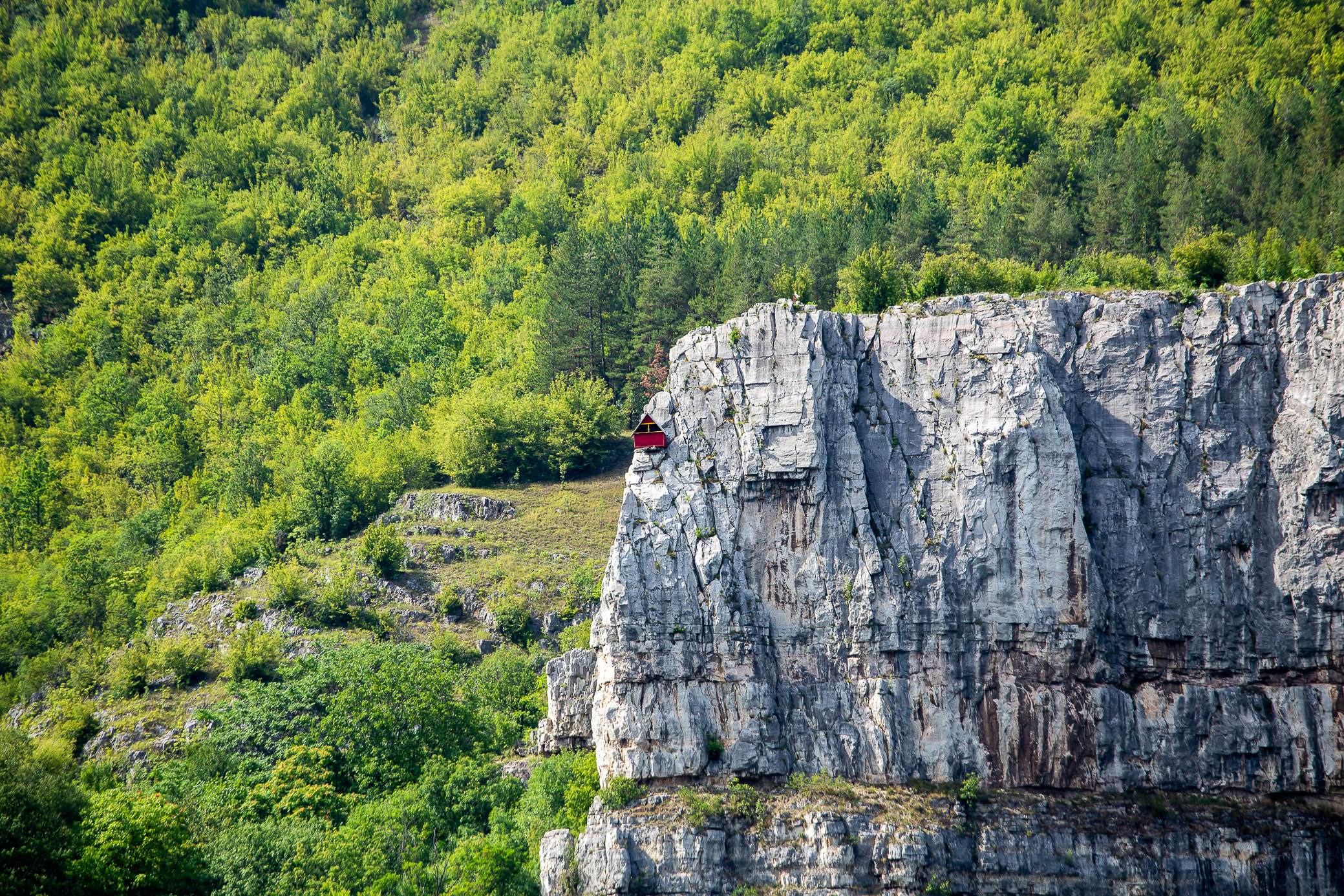
On the way up from Lakatnik towards Trastenaya, you see this rock climbing shelter. Pretty cool. The whole area is a climber’s mini heaven.
To top it all off, after almost 40km and 11 hours of walking, literally 300m before Trastenaya hut, out of nowhere a summer storm hit us and started pouring heavily. I never found those movies where it’s sunny one minute and all of a sudden the sprinklers were turned on realistic, but it was almost exactly like that… I decided not to put on my rain gear back on again so I ran the distance and was not too wet, but the three guys stopped and were drenched by the time they came through the door.
Day 3: Trastenaya – Leskova
23.33km | 717m up | 569m down | 6hrs 23min
The third day was a shorter one in order to give the feet a chance to rest after the first big push the day before. We woke up late — partly because there was a huge party there until maybe 2-3am with a ton of people and loud music. That’s one of the downsides of sleeping in a popular place on a Saturday that you can reach with a car, especially Trastenaya whose owners are known for producing great wines (raspberry based). The fields outside the hut are filled with rows and rows of raspberry bushes.
To make it even better, it was raspberry picking season so the whole place was packed — both by workers and party animals (still sleeping when this was taken) 🙂

A quick pitstop. Shot on my old iPhone, didn’t feel like taking out the big camera.

Mihail catching up to us. We met him at Petrohan on the first night, but thought he would fall behind as his second day was shorter than ours. He turned out to be a trooper — although he had almost never walked in the mountains before, he finished the whole of Kom-Emine. Way to go, buddy!
Storms were constantly lurking around us in the first few days. We were 1-2km away from Leskova hut when the clouds started gathering, but luckily this time the weather spared us.

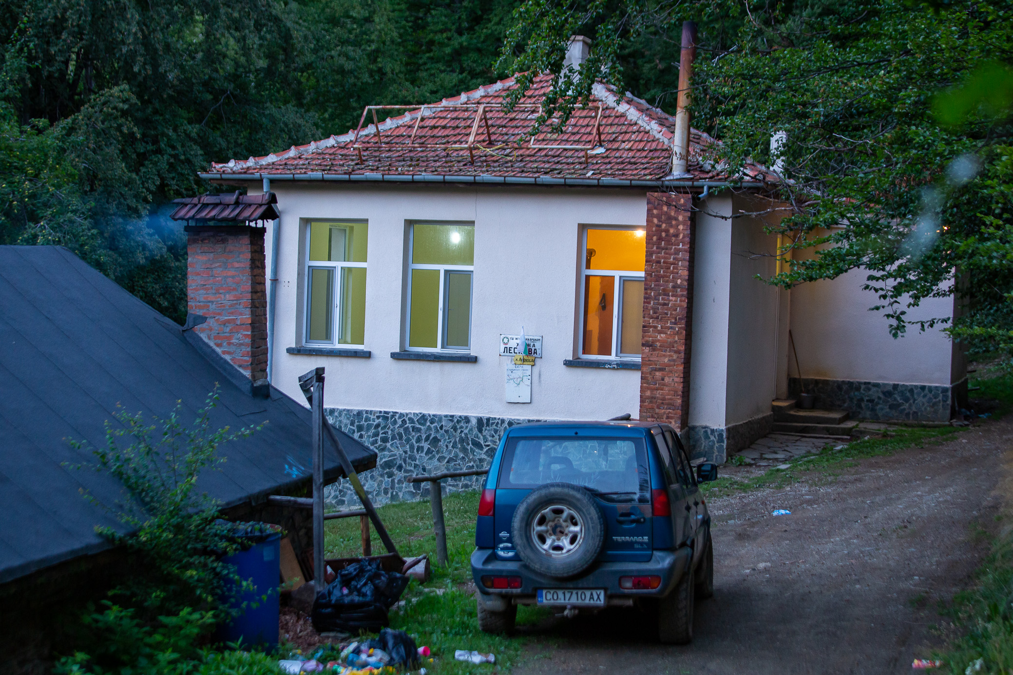
Leskova hut. A former school building turned into a shelter, it’s nothing special, but the hospitality of Tzetzo the Fox (I kid you not, this is how he introduces himself 😀 ) made us love the place. He prepared a great dinner and kept telling funny stories the entire evening.
Day 4: Leskova – Vitinya
36.80km | 1,105m up | 1,426m down | 10hrs 31min
Long day ahead. Somewhere around 6am we were getting ready to leave.
First glimpse of Vitosha mountain in the distance and Sofia at its foot. We had made some progress!

Early morning layers. That peak at the very end (you might be able to make out a structure at the top of it) is called Murgash and is 1,687m / 5,535ft high. It was only the halfway point in that day’s trek…
Botevgrad from above with the sun pouring over the valley. Quite a good morning.

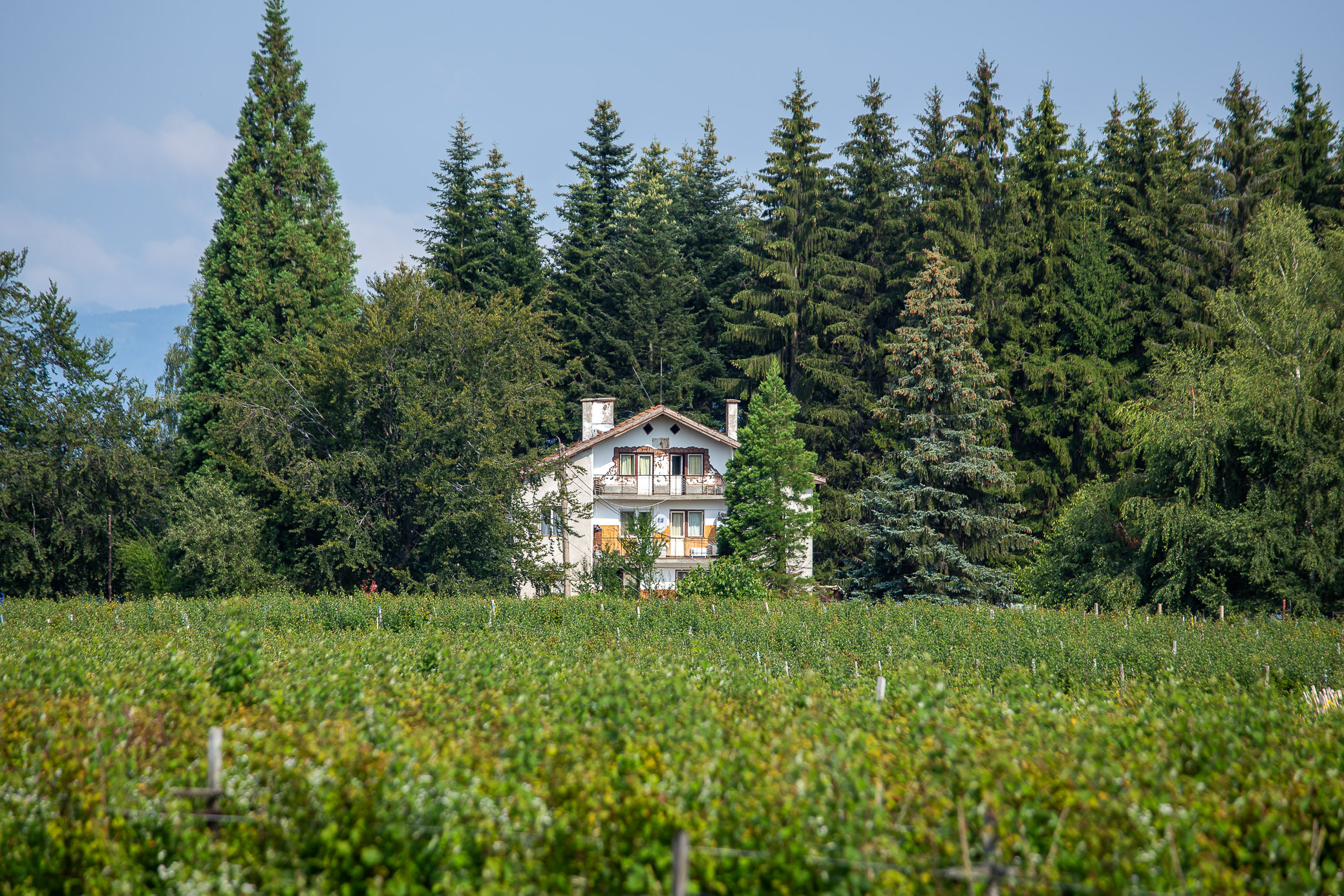
I call this the lonely house. On two levels as well! I really wanted to know what it was and why on earth someone had it built there…

I didn’t really take many photos that day. The trek is not as exciting and with the harsh shadows throughout the day, they wouldn’t have been nice anyway. We reached Vitinya after what was a fairly dull final 15km. They say half the people leave Kom-Emine here and I was beginning to understand why.
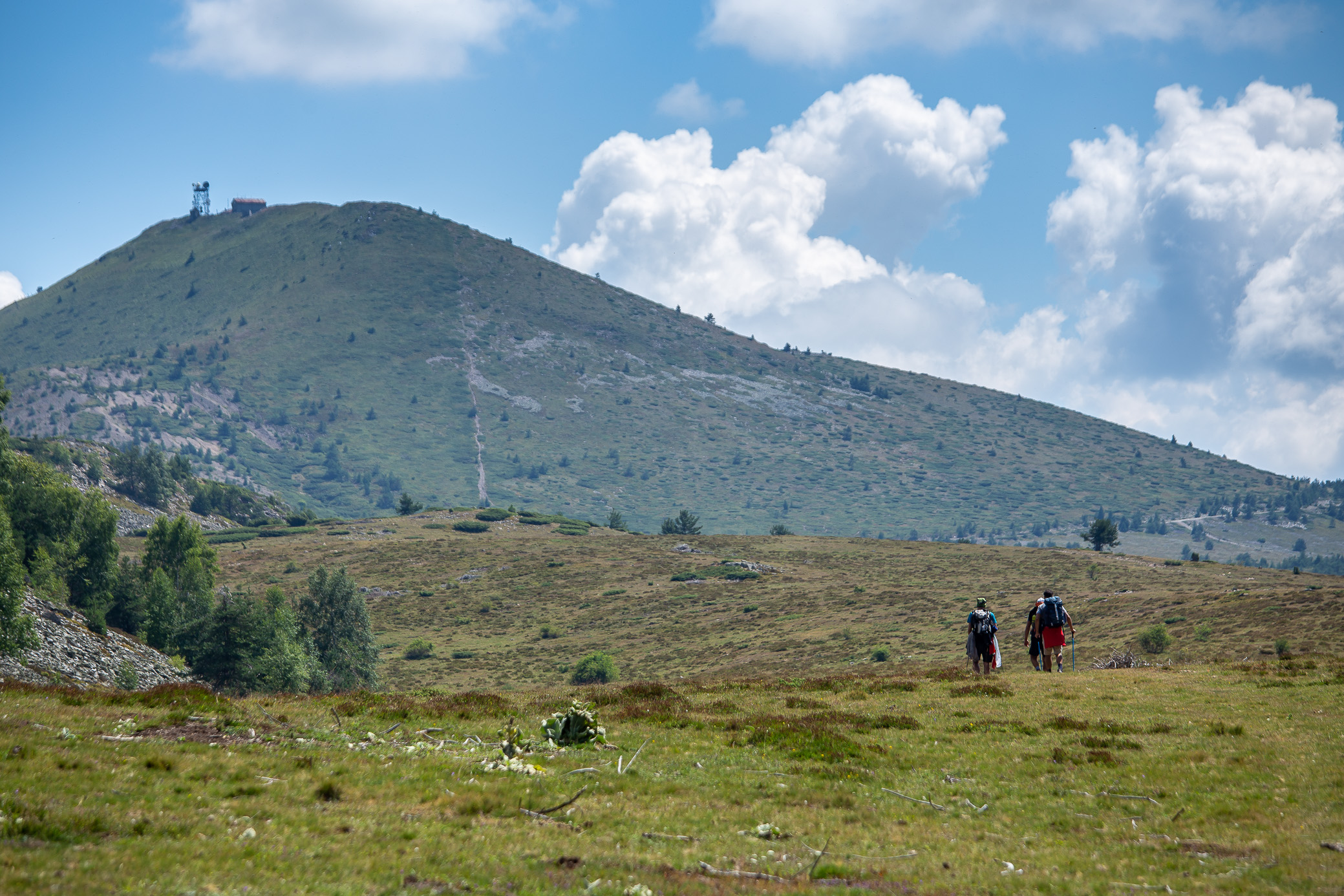
Day 5: Vitinya – Kashana
33.43km | 1,223m up | 851m down | 9hrs 34min
Vitinya hut was a bit of a dump (I’ll gladly skip it next time if I can) so we got up early and left. No short days from here on out. The first part of the morning you walk alongside the fence of what is a huge hunting farm / grounds. There are a lot of those, I was not aware.

It was a hot day so we were lucky that for a good part of it we were walking through the forest. You can see the emblematic Kom-Emine red marking — it’s fairly well preserved in the west (notable efforts to improve it have been made in recent years), but there are places out east where you can get lost quite easily and having a GPS certainly helps.
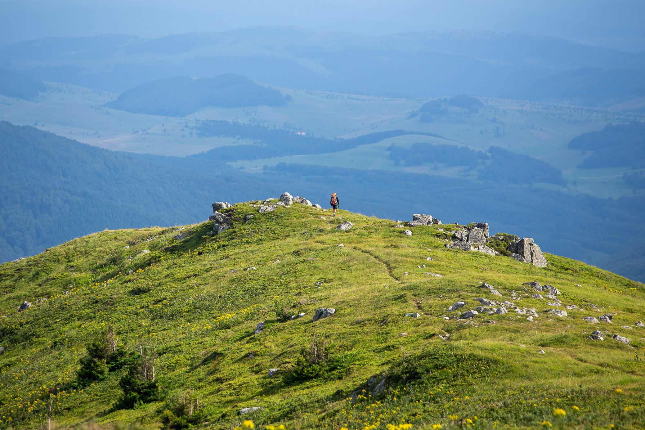
One of the many Baba peaks, this one being the Etropolska Baba. From this point on, you step on the plateau and you don’t get tree cover for long in the next couple of days.
Almost at the end of the trek that day, you reach Elatzite — probably the largest open mine in Bulgaria, if not the whole Balkan peninsula. My father’s hometown is on the other (southern) side of the mountain so I remember it as a kid, it was nowhere near as big. You can literally see how it’s engulfed half the mountain side and can picture where the old contours of the hills were.
Alongside a few other mining companies, it does provides a lot of jobs for the people in the area (including some relatives of mine), but it still causes mixed feelings in the mountaineer in me.

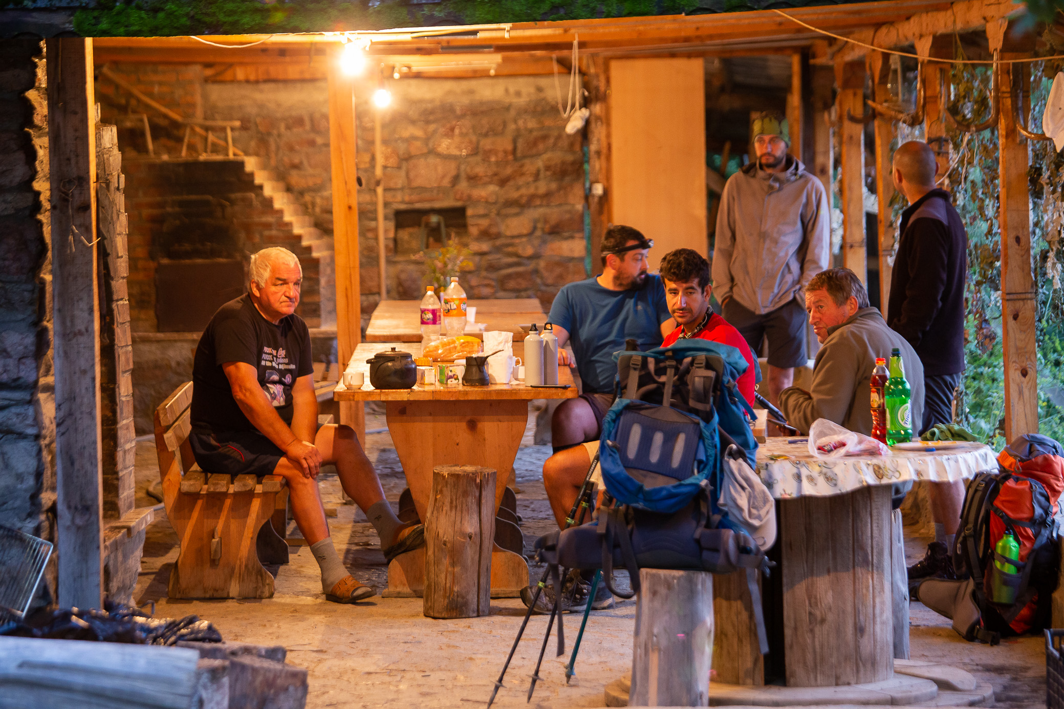
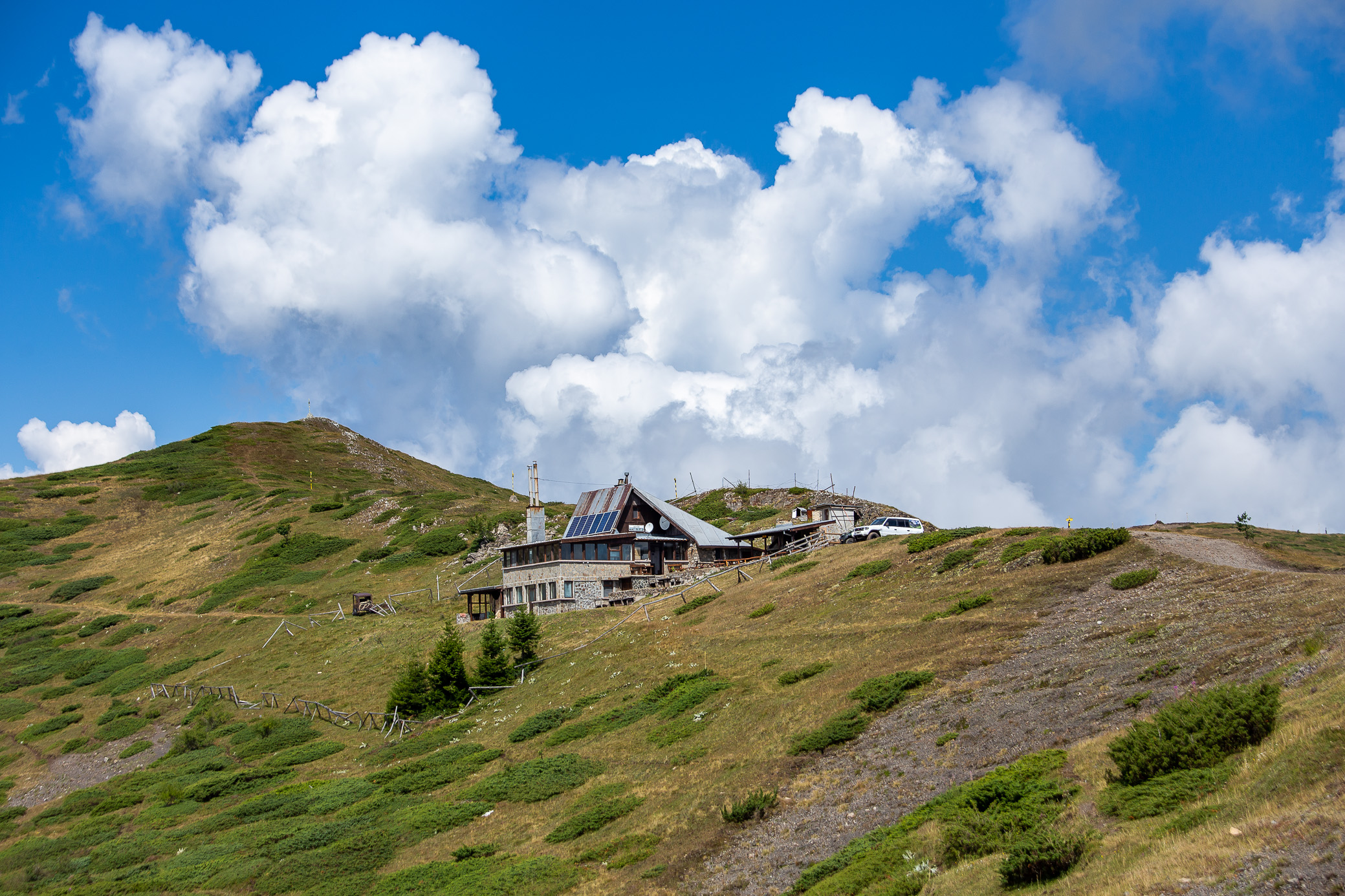
It’s a shame I didn’t take any photos of Kashana — they were amongst the most welcoming hut owners. The main building burned down a few years ago, but they managed to rebuild it and fixed up the smaller adjacent ones as well. Clean, hot water, seater toilets (a rarity!) and good food — what more do you need 🙂 It’s a great place to stay, one I’ll definitely be coming back to.
Day 6: Kashana – Eho
42.17km | 2,332m up | 2,036m down | 12hrs 4min
Welcome to the Central Balkan range! This is the bit I know best so I felt at home, it does help with the walking. We had one of our longest days ahead of us so we got up early and by 6am we were marching up. What a nice way to welcome the day, sunrise over Zlatitza (my dad’s hometown).
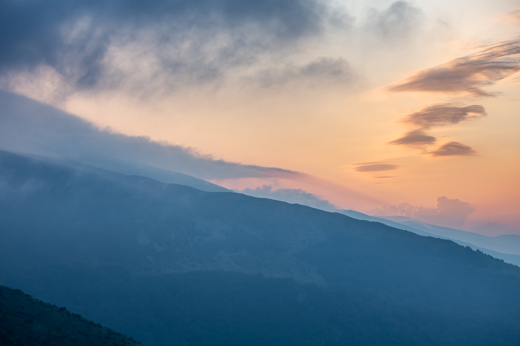
As we gained altitude, we were engulfed in the clouds. But the sun wasn’t too far away which added this pink-ish effect, quite nice.

The whole first half the day was quite unstable in terms of the weather. We were hoping for a good window of no rain before we clear the bits right at the ridge that left us exposed, but once again the Balkan mountains prove you can’t trust forecasts, even ones from fancy websites. The below was us looking ahead.
And this was looking back — same car (berry pickers), we’re just on the opposite hill. Not long after, that dark cloud you see came down on us with the wind picking up and the rain followed minutes later.
This is where one of the unfortunate parts of Kom-Emine came — my buddies and I parted ways. One of them had developed a painful foot injury and couldn’t walk with the good pace that was needed to clear the distance to Eho hut. All 3 of them had 17-18 days off so they could afford to make this a shorter day (going for a hut a little to the side, but only half-way to Eho) and still make the full trek. I had the 8-9 days for half the distance and had to keep on going. We said our goodbyes with me hoping they would still make the full trek that day, albeit slower. They were planning on trying, but sadly they never did catch up and fell 1-2 days behind.

On my own, I picked up the pace to avoid any more severe weather problems. It was cloudy for a good part of the day, but I was lucky in that I did not get rained on or come across any lightning storms. Interestingly, my friends did later tell me they had heard thunder after I left (another reason they turned off the path) — perhaps I had narrowly missed it.


At one point, the clouds lifted and allowed me to see what was ahead. As expected, lots of ups and downs. By the way, another staple of Kom-Emine are the black and yellow metal posts that serve as winter markings, but are also quite useful on the plateau and in foggy conditions.

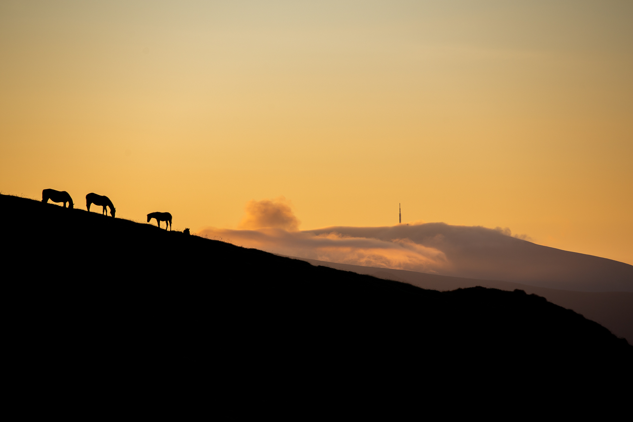
You keep seeing horses throughout the day. Not sure if they are wild or not, but certainly add to the scenery. Interestingly, that rocky ledge you see is called the “Staroplaninsko Konche”, which translates to the horse in the Balkan range 🙂

Koncheto from up close. Quite a nice place to trek, the path is often right on the ledge.

In the afternoon, the weather turned entirely and was actually nice for walking and taking photos. Having stopped worrying about quickly moving out of the storm’s way, I could take in the scenery and enjoy the views. A shepherd, who I imagine lacked company, stopped me at one point and proceeded to tell me his life’s story in 15-20mins. I’m still bummed I didn’t take his photo.
On the second image below (you can click to open) you can see Eho hut to the far left of the frame, at the foot of that rocky peak called Yumruka (the Fist).


About 1.5-2 hrs after the above shots were taken, I was at Eho and looking up at Yumruka. What a day!

If only they had water for a shower… unfortunately, this year has been rather dry so water was barely enough just for drinking ![]()
Day 7: Eho – Dobrila
33.57km | 1,195m up | 1,076m down | 8hrs 30min
A relatively short and easy day, but I still got up early as I prefer to avoid the heat as much as I can. It was a gorgeous morning. Looking at what lay ahead.

I was lucky to capture this. Within 2-3 minutes, the previously grey cloud turned pink and then dissipated.

The sun rays pouring in the valley.
This area is what’s known as Kozya Stena (the Goat’s Wall) — you can probably see why 🙂

The Arch of Freedom at Beklemeto Pass. You might have spotted it in one of the images above.

The Eagle’s nest hut which we just used to fill up our water bottles in. You might be wondering who “we” is — well, you’re never really alone on Kom-Emine in August 🙂 You keep seeing the same people often so at certain points you just walk together.
This was shot in the early afternoon, looking back at the distance we’d covered. We had started somewhere at the left side of the photo. To the right you see Dermenka hut where we ate lunch. Best sheep milk yoghurt with berries dessert I’ve tried!

All of a sudden, boom, bear tracks! We kept seeing them on the main path for a good few hundred meters. I think it was a cub / small bear, but still — we took turns being very loud and shouting to warn any animals.

At Dobrila hut, contemplating life? You do get quite a bit of time to yourself and your thoughts, very useful.

Day 8: Dobrila – Mazalat
42.19km | 2,342m up | 2,601m down | 12hrs 50min
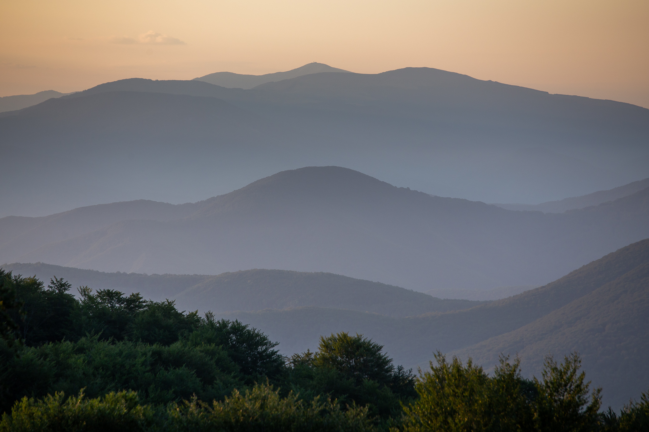
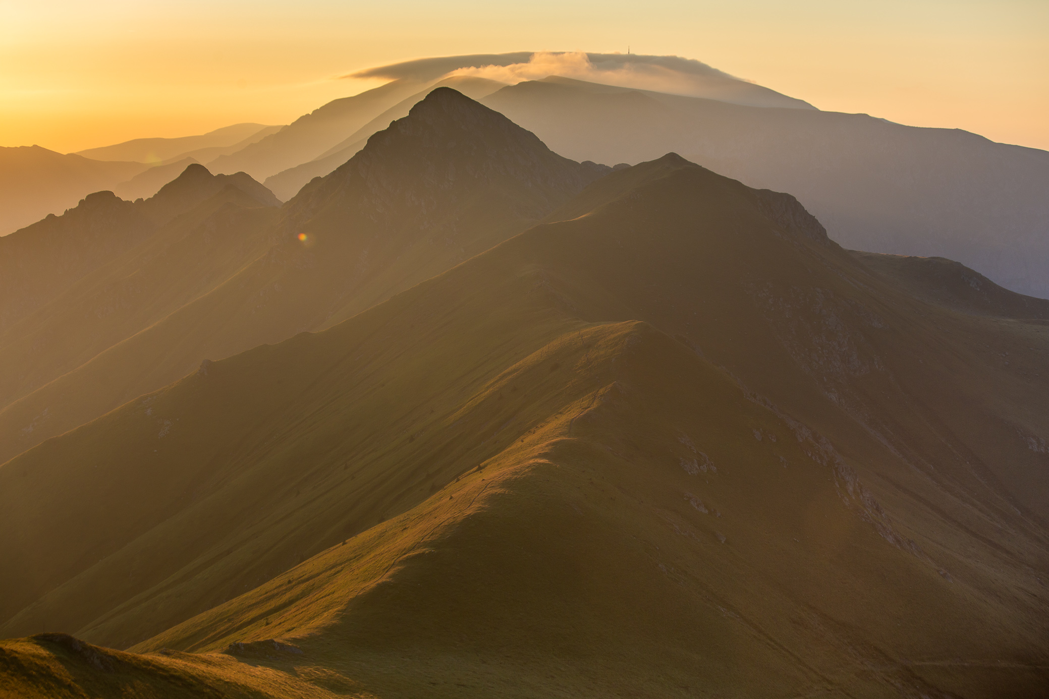
The granddaddy of them all! This was the day I had been looking forward to the most as you go through the most Alpine-like terrain. We got up super early and by 6am had already climbed the adjacent Ambaritza (or Levski formerly) peak (2,166m / 7,106ft), just in time for the below sunrise. Stunning is the word that comes to mind. The prominent peak in the center of the frame is Golyam Kupena (2,169m / 7,116ft) and Botev is the one with the antenna in the distance. The latter is also the highest in the Balkan range, sitting at 2,376m (7,795ft).
Silhouettes. Botev seems close, but it’s actually 15+ km away…
Probably my most favorite shot of the trip. Look at those velvety hills… What a morning!
I actually didn’t take many shots in that section. For one, Golyam Kupena is a bit technical and the use of both hands is needed 90% of the time. Also, I was just enjoying the views and preferred not to get distracted with the camera. The below photo was taken with my phone on the way down from Kupena.
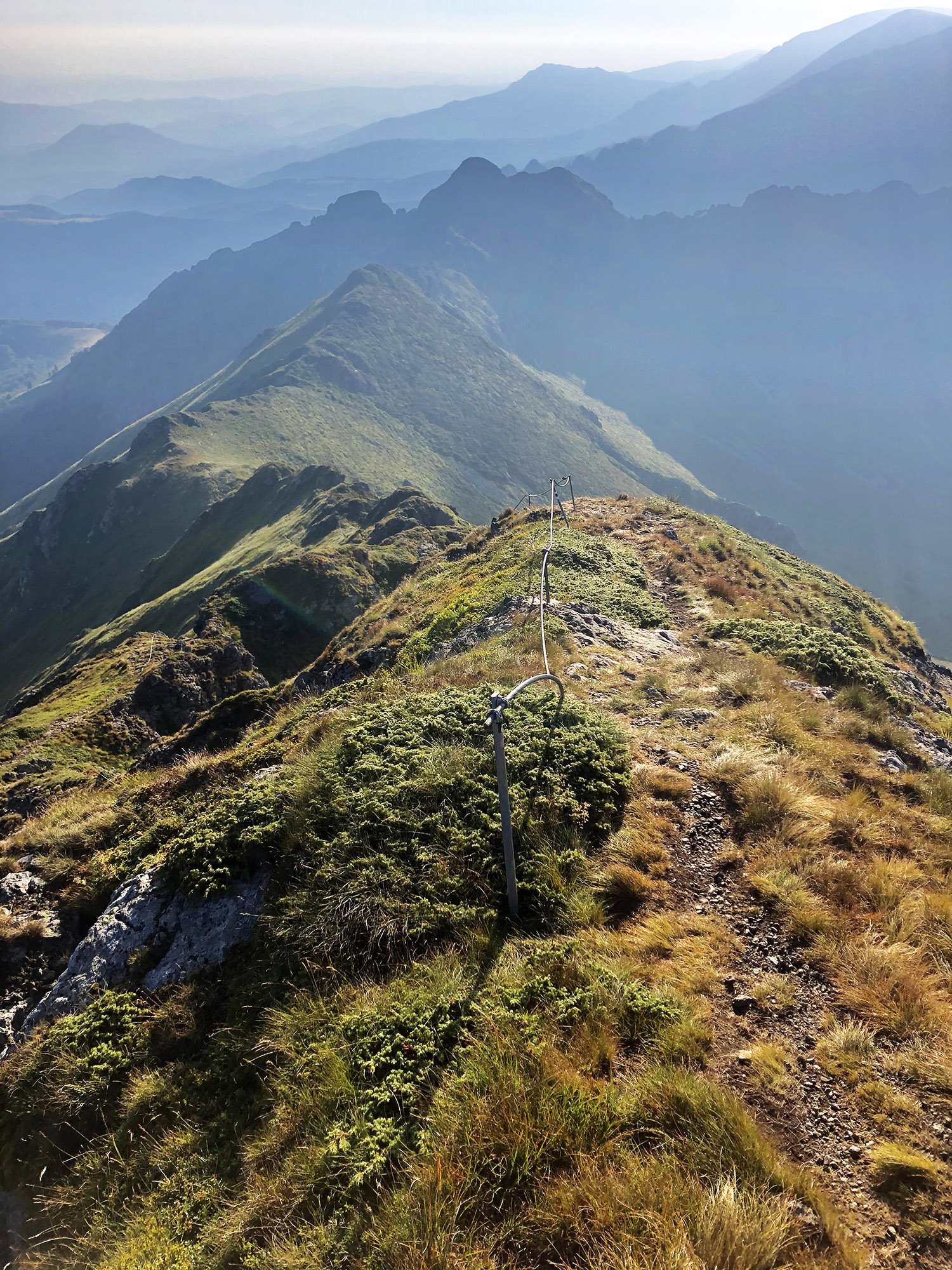
After a few more ups and downs, you get closer to Botev. I must have climbed it at least 20-30 times over the years and it never fails to surprise me weather wise. Never a dull day at Botev, that’s for sure, look at those cloud patterns 🙂

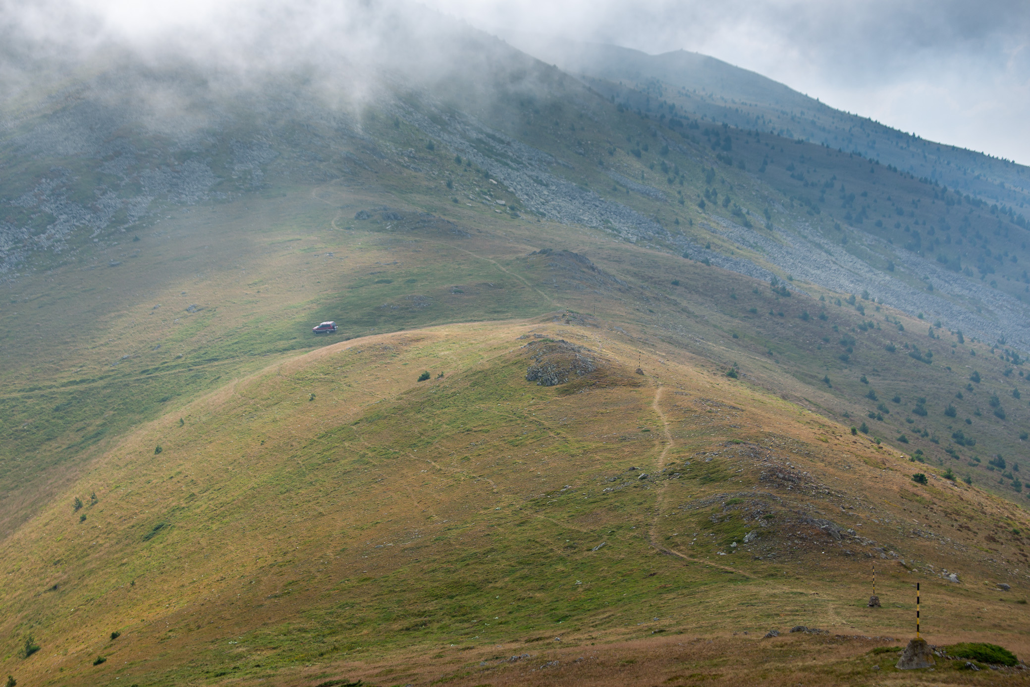
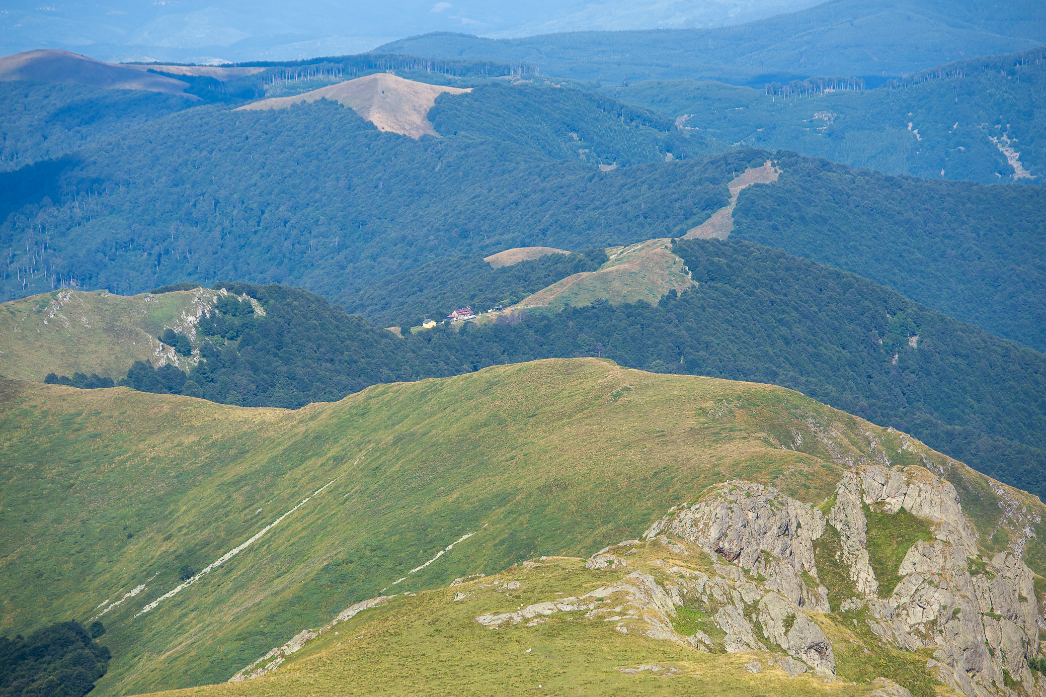
As we got to the top of Botev, the weather worsened — chilly winds and low clouds made us stop only for a short break and continue moving, still another 18-20km to go that day. But once we descended on the other side, the conditions started improving. What followed was a long walk along the ridge with a slow descent towards Tazha hut, the originally intended place where we were going to stay — but it turned out to be packed. Note to self, always call much much earlier in the future, especially on a weekend evening (this was a Friday).

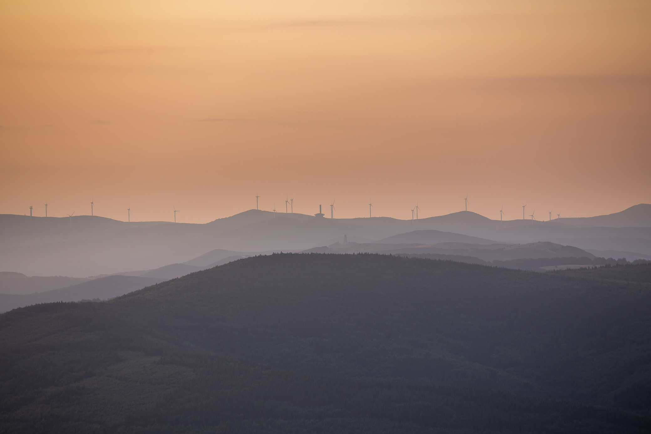
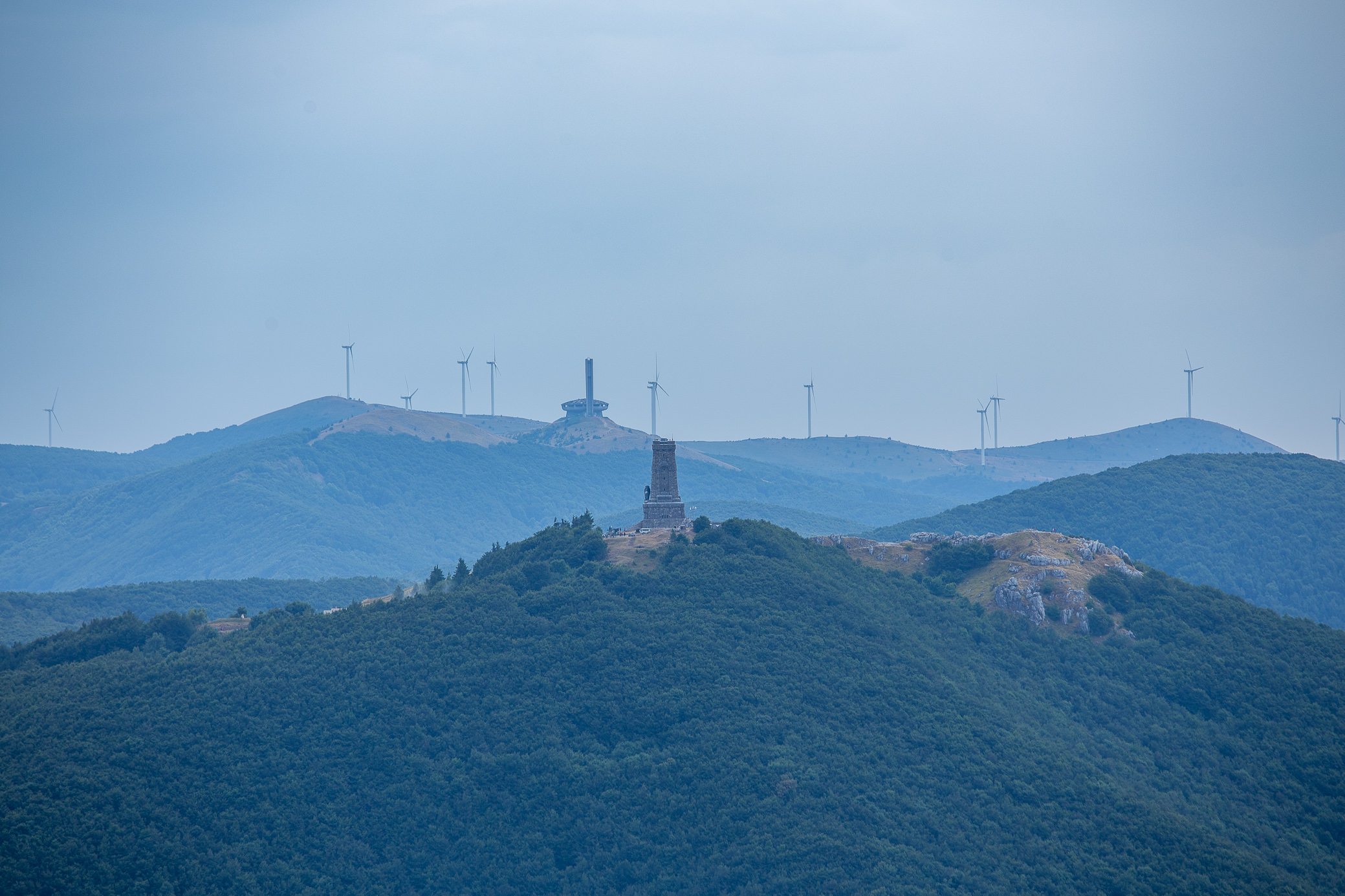
It’s no wonder this day includes the highest elevation gain of the trek — after the Botev high and the Tazha low, you have to once again climb back up quite a bit to get over the ridge and start your descent to the next hut, Mazalat. The good news? Wonderful views of the Shipka monument and the surrounding wind turbines.

Mazalat hut was in sight! Just another hour to go. At this point I wasn’t sure if they would have had room for me (Friday night and me not calling early enough, remember?) and there was a chance I was going to have to walk another 10-15km to Uzana, which would have been fun, on top of the 42km that day.
But the hut keeper was kind enough to find a few spots for myself and the people I was loosely traveling with, little ways behind. Perhaps some people hadn’t showed up, as you can see plans in the mountain change rather quickly. Regardless, we were happy to have a roof over our heads and a delicious dinner 🙂
Day 9: Mazalat – Buzludzha
37.16km | 1,221m up | 1,315m down | 9hrs 1min
The last sunrise on the trek for me… had to step off the main track and climb a bit to get to this, but so worth it!
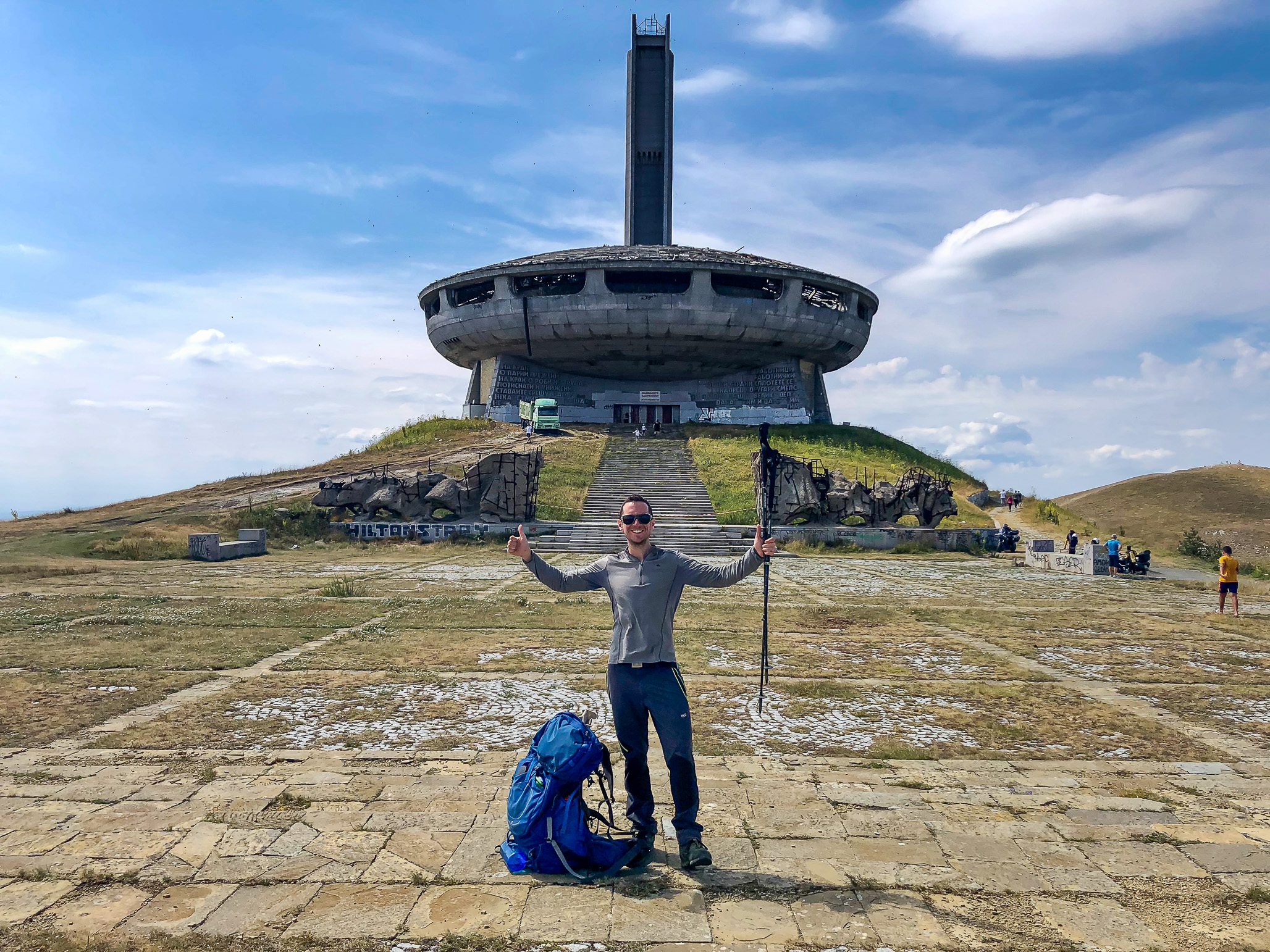
The end was near! I’ve been to the Buzludzha monument (the UFO looking one) many times and even gone inside (worth checking out, it has a fascinating history). But this was shaping up to be the most rewarding climb, after having walked for almost 9 days to get to it.
One final longer pitstop on the way — Uzana hut with the wonderful manager and host Milena. A former athlete herself, she has completed Kom-Emine several times and knew what we needed — freshly baked and homemade mekitzi and banitza (look them up), so good! A great breakfast.

Getting close now. Shipka monument was around 30min away and Buzludzha is another couple of hours after that.
And there it was, the end! I was very happy to reach this point, though what would have made it even better was having my buddies with me in the photo. Hopefully we get to do it together one day.
And that concludes the first half of Kom-Emine. 300km of many ups and downs, literally and figuratively. Do I regret not having the time to finish the whole thing in one go? Perhaps a little bit. But at this point I was quite sure I’d be able to make it, it’s a matter of finding the time.
So if anyone’s up for some walking, let me know 🙂

I had no idea Bulgaria was so naturally beautiful! Thanks for sharing!
Oh, that’s only a fraction of what our tiny country has to offer 🙂 For a place the size of Pennsylvania, we have a lot of diversity.
Your country is on my list to visit one day…. I will get there!
Amazing journey and awesome photography!
Thank you, good sir!
Incredibile, I didn’t know you were that good of a photographer (and story teller). One of the pictures of Botev peak is now my desktop background. Good luck Icka, you are an inspiring person.
Thanks for the kind words, bud! Glad yo have walked a bit of this with you 🙂 Keep it up and see you in the mountains 😉
Great story! After crossing Serbian Carpathians, we continued with hiking from Belogradchik over Midzhur and Kom to the Eho hut in July, lack of time forced us to leave the ridge and descend to Rozine. But we are going to continue, therefore we found your article. All the photos are so vivid and bring back memories: beeches around Kom, Lakatnik cliffs, Trstena raspberries as well as some rain and lightning… We only slept in different huts, especially food in the Murgash hut was delicious. Only one photo is confusing, with “Midzhur” – this mountain is quite far away and there is definitely not a single building on it. It looks like Baba with its military facility. Thank you for a great article, and looking forward for the remaining part once you walk it. Joe (the Czech Republic)
My word, you are absolutely right! This is Murgash peak — I stand corrected and updated the post. It does have a weather station on top of it. Not sure what got over me to mistype it. There is a Midzhur peak in Stara Planina, as you correctly pointed out, and I’ve actually climbed it. That, alongside writing late into the night, perhaps added to the mistake. Thank you, Joe.
Great to hear of your adventures, that sounds like one truly epic journey! Hope you come back soon 🙂
Nothing like a great adventure with friends ~ and wow ~ was this good. Cheers to life!
Indeed! Hope all is well in your world.
My wife and I did the length of this in 2019, in I think 23 days, and loved it. We made many friends and enjoyed Bulgaria immensely. The last week is honestly not as nice as the first 2/3rds of the trail, as the trail gets lower, dryer, and less scenic until you get to Emona, which is beautiful. There also seem to be many fewer operating huts in the last stretch. But we did love it all and your photos make me nostalgic.
You should come back to Bulgaria, plenty of other trails to do 😉
Yes we intend to come back to hike the E4 and visit our friends in Sofia and Varna, I hope in 2023. Any other specific trail recommendations?
The E4 was what I was going to suggest, it’s on my list as well. Between that and Kom-Emine, you would have covered most big trails we have probably.
The Rhodope mountains have a lot to offer as well (see this post), but less grandiose than the beauty of Rila and Pirin so it depends on what you’re after. You can still do shorter challenges, like crossing Rila in a day from Borovetz through Musala peak down to Yakoruda, or doing the Vitosha 100 (a 24hr challenge to walk around Vitosha, essentially). You can also venture to the border mountains like Balasitsa and Osogovo or even climb Midzhur, which is part of the Balkan range, but further West than Kom so it’s not part of that route.
If you have the time for things beyond E4, drop me a line and I’d be happy to give specific recommendations 🙂
Thanks, and I will if I do.
great write up