In preparation for Mont Blanc, a couple of friends and I decided to take on the Welsh 3000s challenge. In essence, that means climbing all 15 mountains in Wales over 3,000ft in under 24 hours, without using any transportation means. Luckily, all fifteen fall within 3 mountain ranges (so we had to do 3 big ascents and 3 big descents) and are sufficiently close to one another to be done in one day. Normally people aim to do tackle it in June when the day is longest and you don’t need to climb in the dark.
Now, I’m not going to say this was the toughest physical thing I’ve done, but it ranks quite high on the list. It requires serious preparation and a great level of fitness — and quite a bit of luck to not get too many blisters or muscle cramps probably. We started around 5am and full of energy quickly went through the first mountain range and continued to feel strong throughout the second range. When you’re midway through you think “Ok, this hasn’t been that bad”, but then come the tough second descent and the final 3rd big climb and it really kicks you. Not to mention it was perhaps one of the very few days of the year when there were almost no clouds in the sky all throughout so it was extremely hot — seriously, Wales, what was up with that? At the end of the day, some 19 hours after starting (we got picked up almost exactly at midnight) and having walked and partly ran for a few of the total 60km, all you can think about is just lying down and that you’re never doing this again 🙂
[Sidenote: I am still blown away by the fact that the record for the challenge is 4 hours 19 minutes, set by Colin Donnelly in 1988 — our time from peak to peak was just under 15 hours, meaning he was 3x faster! Mind you we could have shaved off a couple of hours as we messed up the route a few times and stopped to rest quite a bit, but his time is just surreal and you really start to realize that as you’re walking the challenge. If you have time, watch his incredible feat here.]
This won’t be an exhaustive photo journey or a guide to completing the trek — we were trying to keep a good pace so I didn’t want to stop too often. But it does give you a flavor of what truly amazing views you see on the way. Despite it being a serious physical and mental challenge, it was also one of the best experiences I’ve had. One can’t really explain how truly great it feels to finish this, you have to find out for yourself 🙂
***
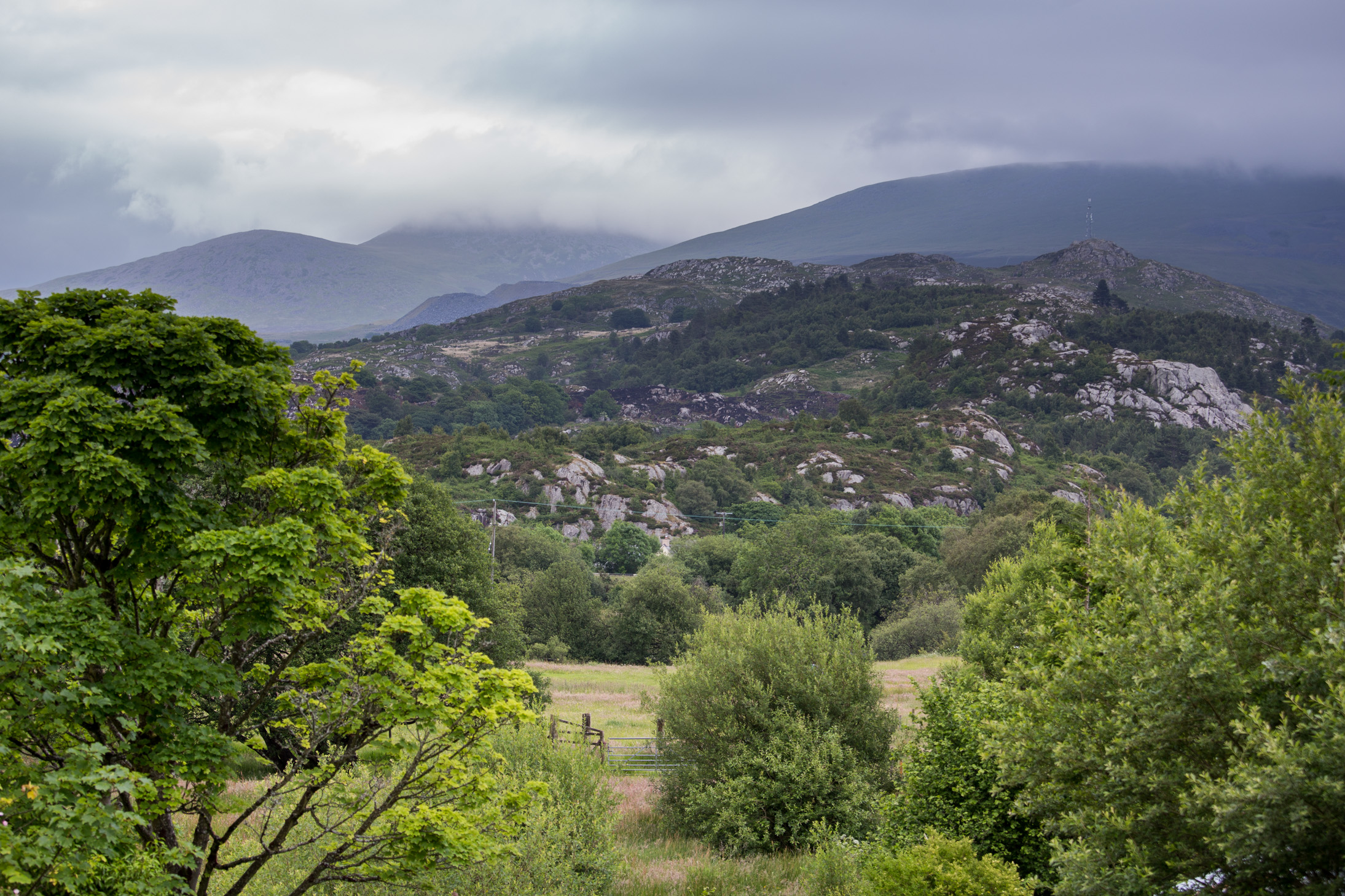
The night before, we arrived at the small Cwm-y-glo village in Wales. The clouds in the sky did not quite paint an accurate picture of what we had to expect for the next day.
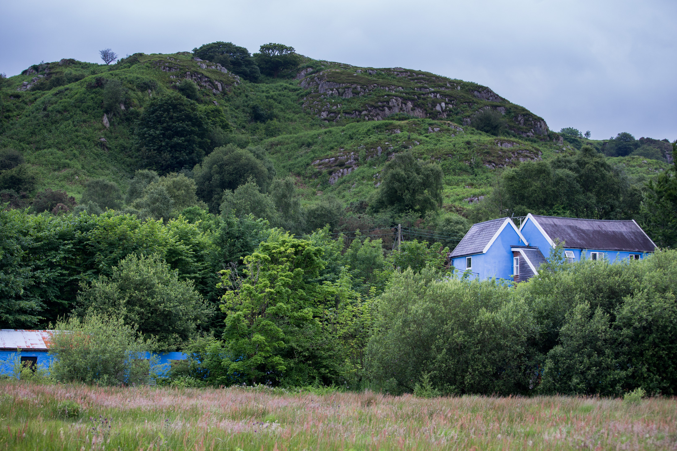
The Snowdon Inn where we stayed — nothing too flashy, but more than enough for a good night’s sleep. By the way, in order to shorten the walk, some people choose to sleep in tents near Snowdon peak the night before and start the challenge from up there, saving themselves the first big climb. We couldn’t get organized to carry up that much gear and make it there on time so more trekking for us 🙂
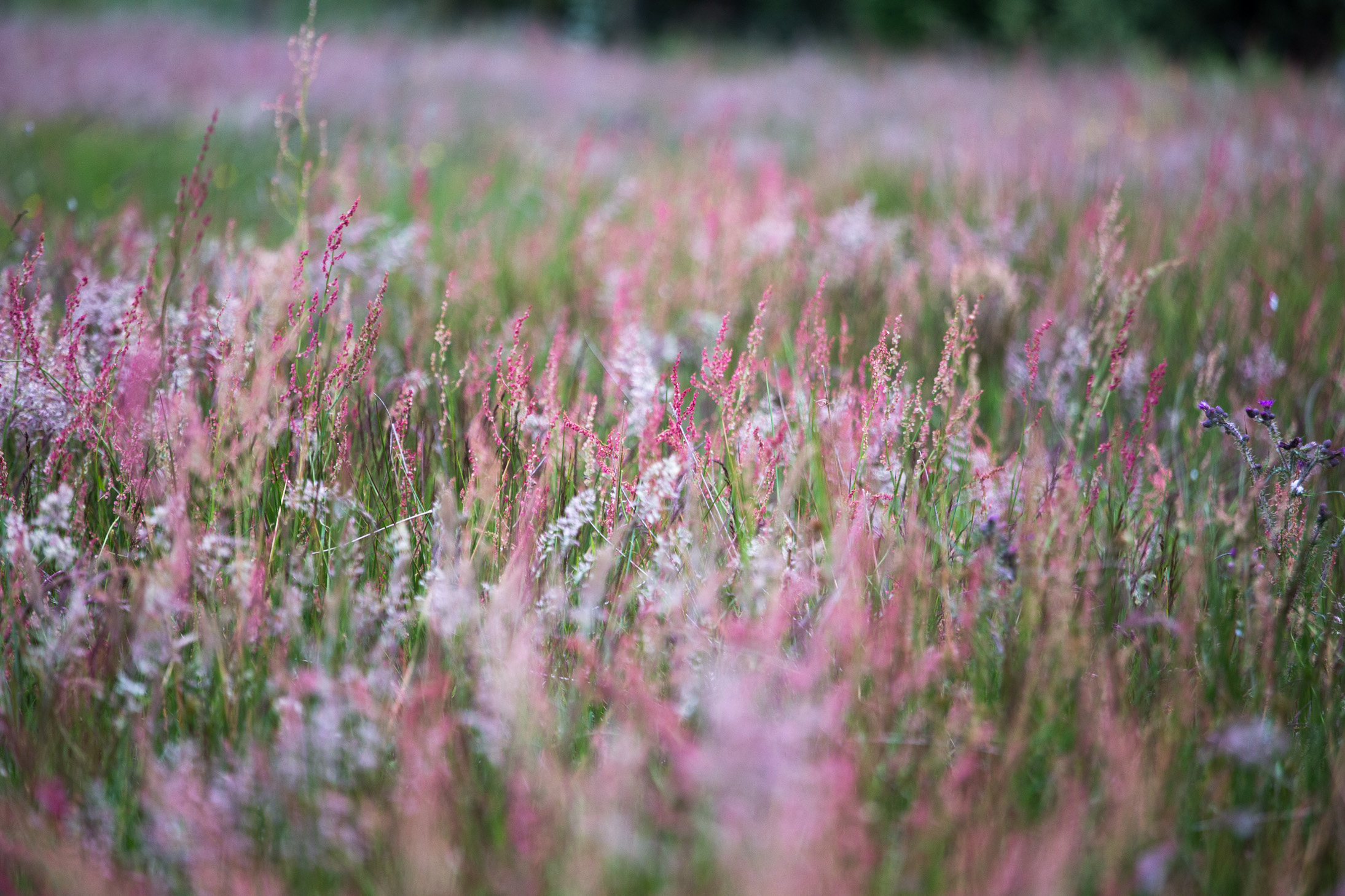
Around the inn, beautiful summer colors.
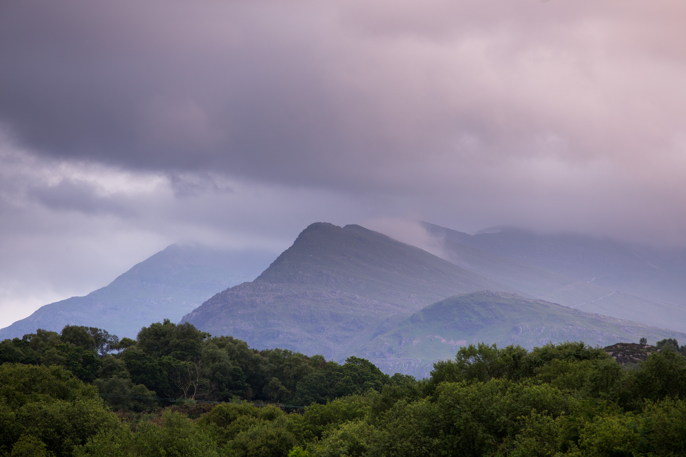
What a gorgeous view for good night! This is what we were climbing the next day. Soon after we hit the sack in order to get as much shut eye as we could.
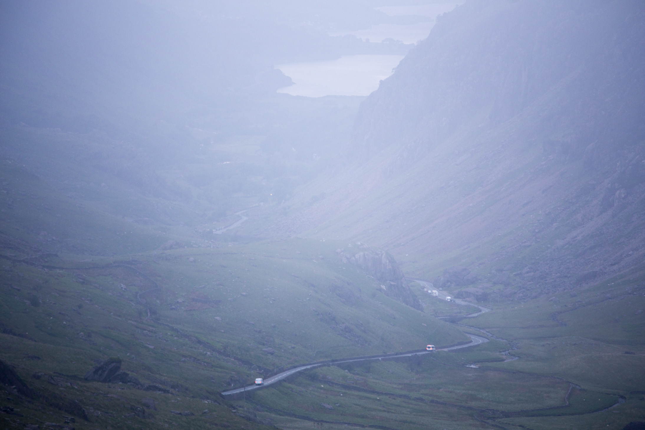
The Llyn Peris lake and the road that leads up to the car parked where we got dropped off around 4.45am. The morning mist was actually quite welcome as it kept things cool for the first ascent.
Around 5.45am, the sun was starting illuminate nearby peaks.

Overlooking the miner’s track.

The first peak, Crib Goch, was still ahead of us. We could make out some people who had a head start.
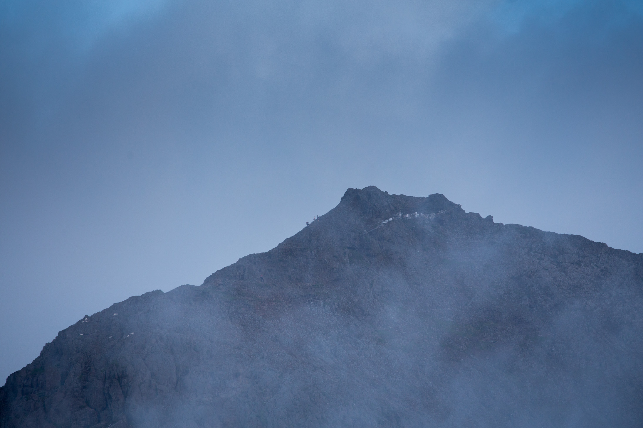
At the Crib Goch ridge. Not sure if the photo does it justice, but it was both incredibly beautiful with the morning rays and quite scary with the several hundred meter drop on each side (I didn’t take photos in the most dangerous bit). Our route up to Garnedd Ugain in the upper right corner is quite clear. Snowdon is in the clouds.

Near the top of Snowdon, overlooking the path some people take.

Legends!

On the way back from Snowdon (a bit further behind the peak here) we ran for a while and didn’t stop much so I didn’t really take any photos until we were midway through with the second big climb. You can clearly see the path to a certain point and then we just found a way down (mostly on our asses) to the Nant Peris village in the valley. A short rest there and up to where we are.

Midway through the second climb you see the final peak of this section (Tryfan) and think you’re getting close. That’s quite deceptive 🙂 Essentially from this point we do a semi circle off camera to the right, taking on a few peaks before climbing Tryfan and then going down to that pit stop you see at the bottom left. Seems close, but it’s a long way.

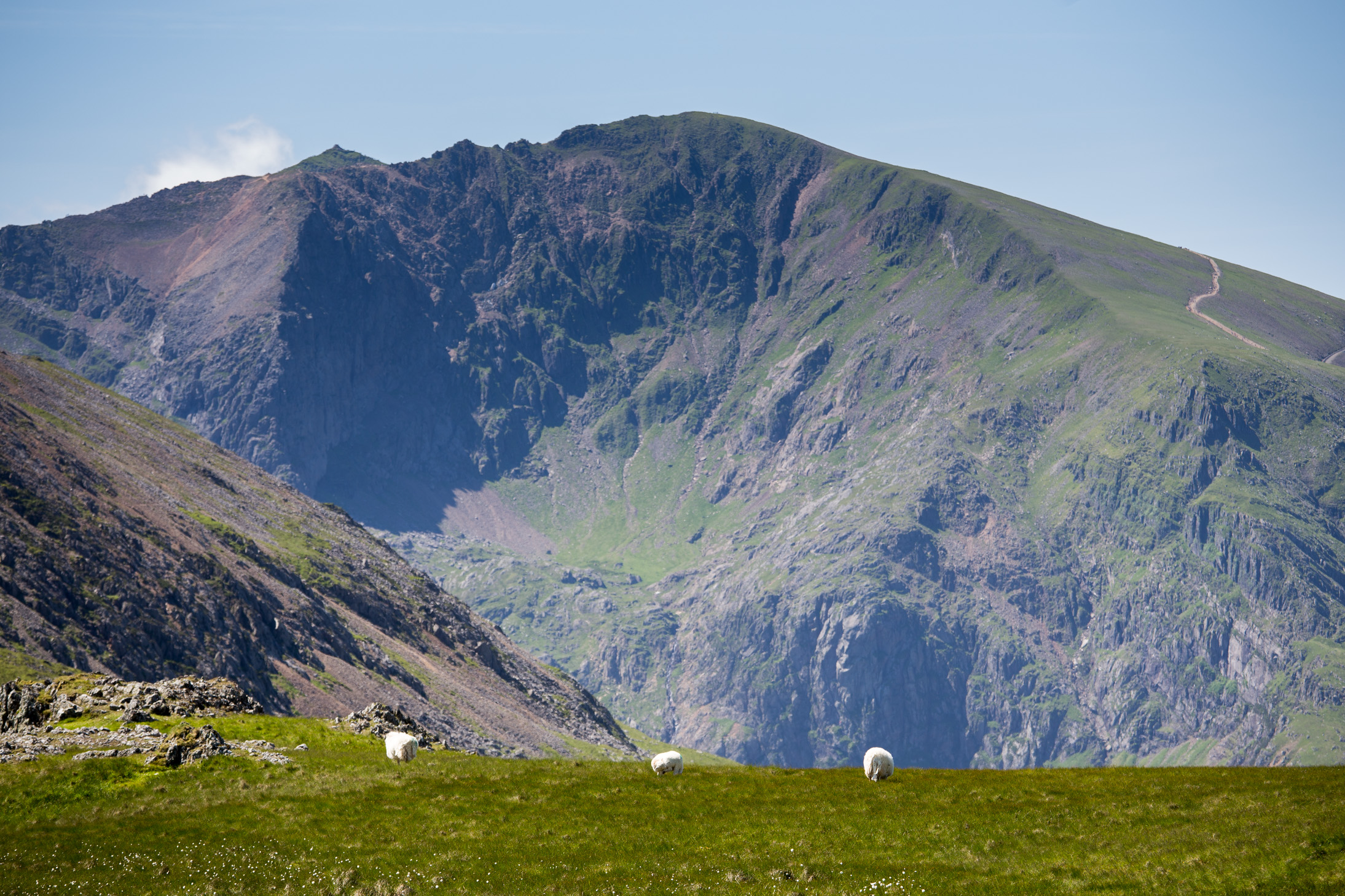
Looking back at the Snowdon massif with some lovely sheep in the foreground.
On the way down from peak 5, Y Garn.

Time for a pit stop!

Crib Goch (left), Garnedd Ugain (right) and Snowdon (center, further behind) from another angle.

Looking back at Glyder Fawr in the distance and Castell y Gwynt (the rocks in the foreground) as we’re closing in on Glyder Fach, peak number 8.

The cantilever stone at the top of Glyder Fach.

Ahead is Tryfan, peak 9 and last of the second range. Seems close, but because we took the wrong route, it was a gnarly rock scramble down and then a nasty hot climb up it. Quite nice from up here though 🙂

What you see here is the 10th peak Pen yr Ole Wen (first of the 3rd range and the final big climb). It’s a lot steeper than the photo shows and the almost 700m ascent really takes the wind out of you after having walked for close to 12 hours. You start from the bottom right and wiggle your way close to that ridge line.

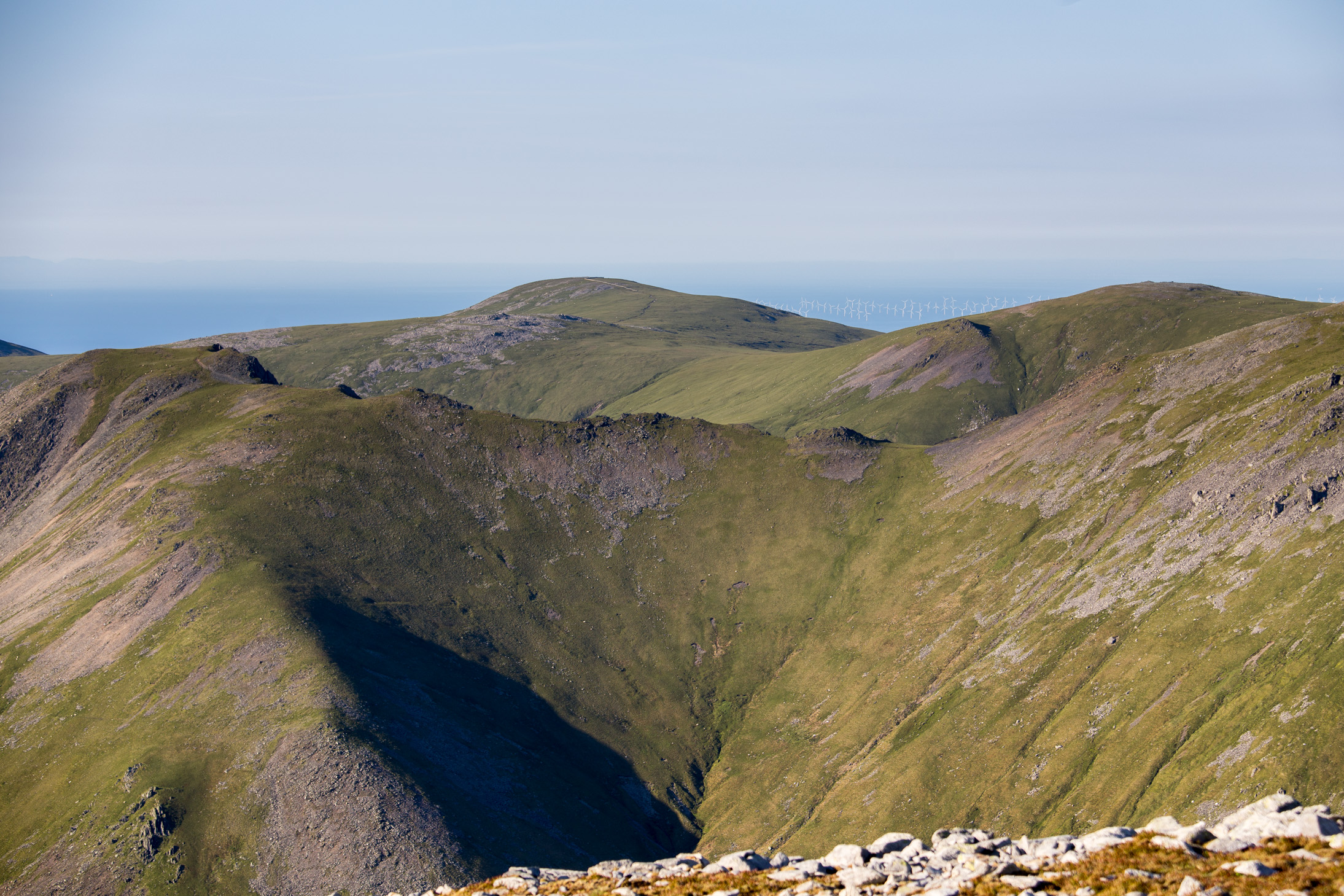
Having already passed Pen yr Ole Wen, we’re now standing on the 11th Carnedd Dafydd and looking ahead at the remaining 4 — Carnedd Llewelyn (slightly off camera to the right), Yr Elen (on the left), Foel Grach (middle peak to the right), and lastly Foel-fras (in the distance). Although the massif with the least elevation difference between peaks, this third range is in fact the longest in terms of distance. By this point your feet are quite sore 🙂
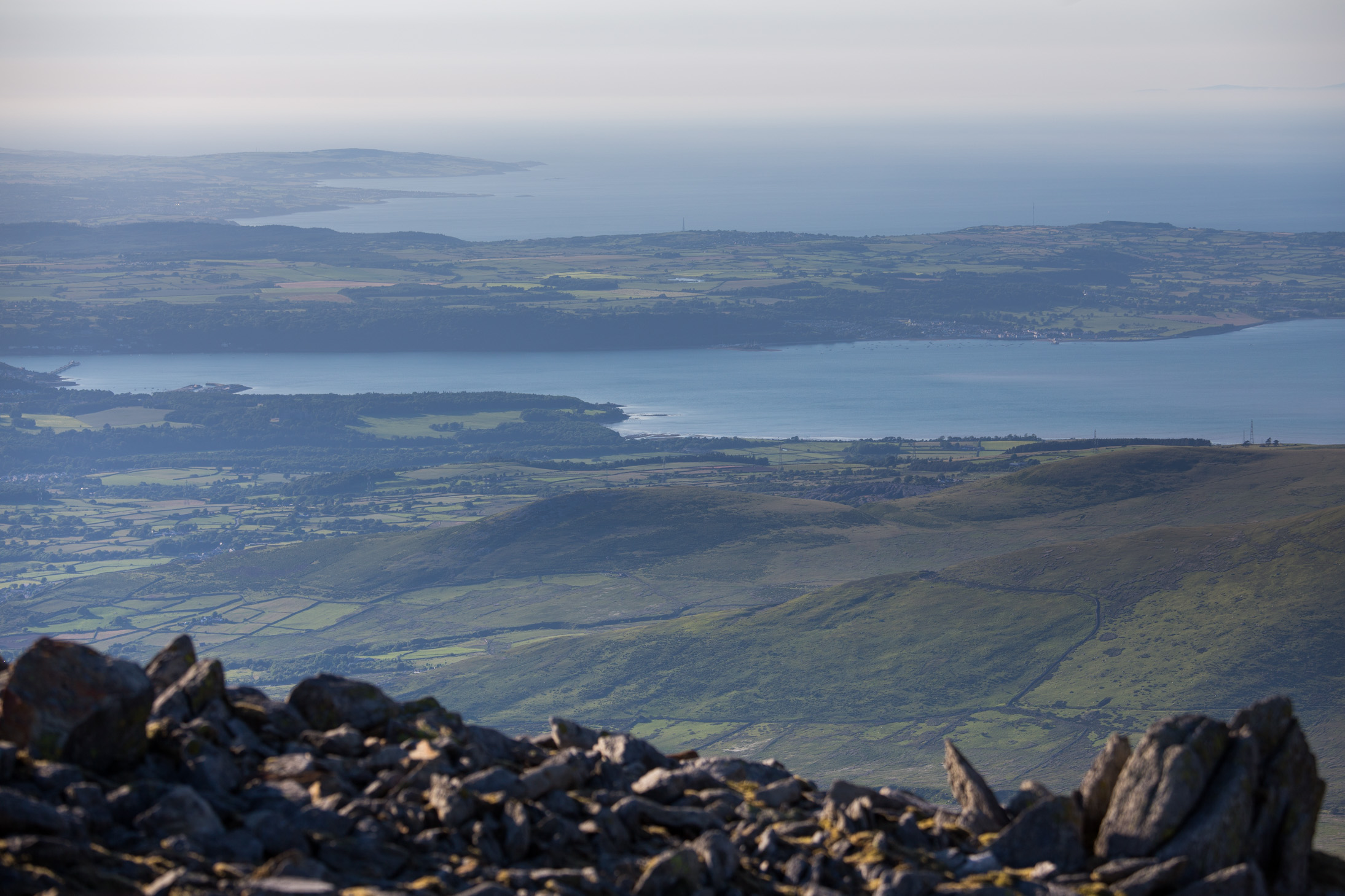
Somewhere along the last range, looking at the Menai Strait which separates the island of Anglesey from the mainland of Wales
Sheep eating away at dusk near the 14th peak, Foel Grach. At this point it was a race with time to finish before it got dark…

Final shot of the trip, just a bit before the last 15th peak. What a memorable sunset!

By the time we got to Foel-fras, it was already getting close to dark so we rushed to find our way down. The map wasn’t quite clear where the extraction point was (somewhere above a town whose name I still can’t pronounce — Abergwyngregyn!) so we just aimed to reach this old dirt road we saw and take it down as far as we could. We stepped on the road just when we couldn’t see anymore and had to turn on our headlamps. Another 3-4km of walking / running at times and we were met by the cab driver we had paid to pick us up. Let me tell you, his headlights in the distance were by far the best sight of the day 😀
So from the perspective of time, would I do it again? They say one of the finest traits of any mountaineer is forgetfulness — you swear you’d never do this to yourself again, but then a couple of weeks later you’re ready to take on the next challenge. So I don’t want to limit my options 😉

Wow. Congratulations!
It’s a great achievement and fantastic adventure. Thanks for sharing the path and beautiful pictures.
Thanks for your comment, Lucile!
Most welcome!
What lofty views! May your mountaineering forgetfulness lead you to ever greater heights so that we, your followers, can sit at our desks and take in the wonderful vista.
Haha, well said!
Incredible photos ~ and what fun, exhausting but fun this must have been. I think Mont Blanc will be a piece of cake after this (maybe…).
For anybody else thinking about taking on this incredible challenge, we’ve just published this article which contains everything you need to know about how to plan, prepare for, and complete the Welsh 3000s.
https://climbwales.co.uk/info/article/how-to-do-the-welsh-3000s/